On our Southern Africa trip we saw a numbers of warning signs – many that we wouldn’t expect to see at home ….

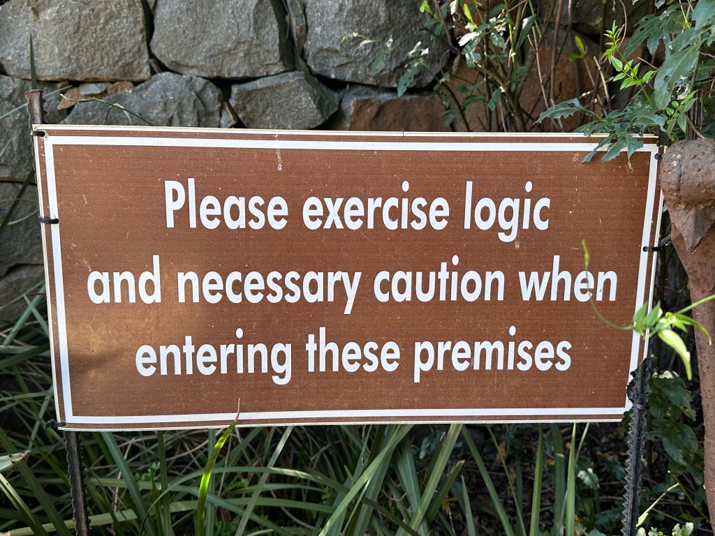
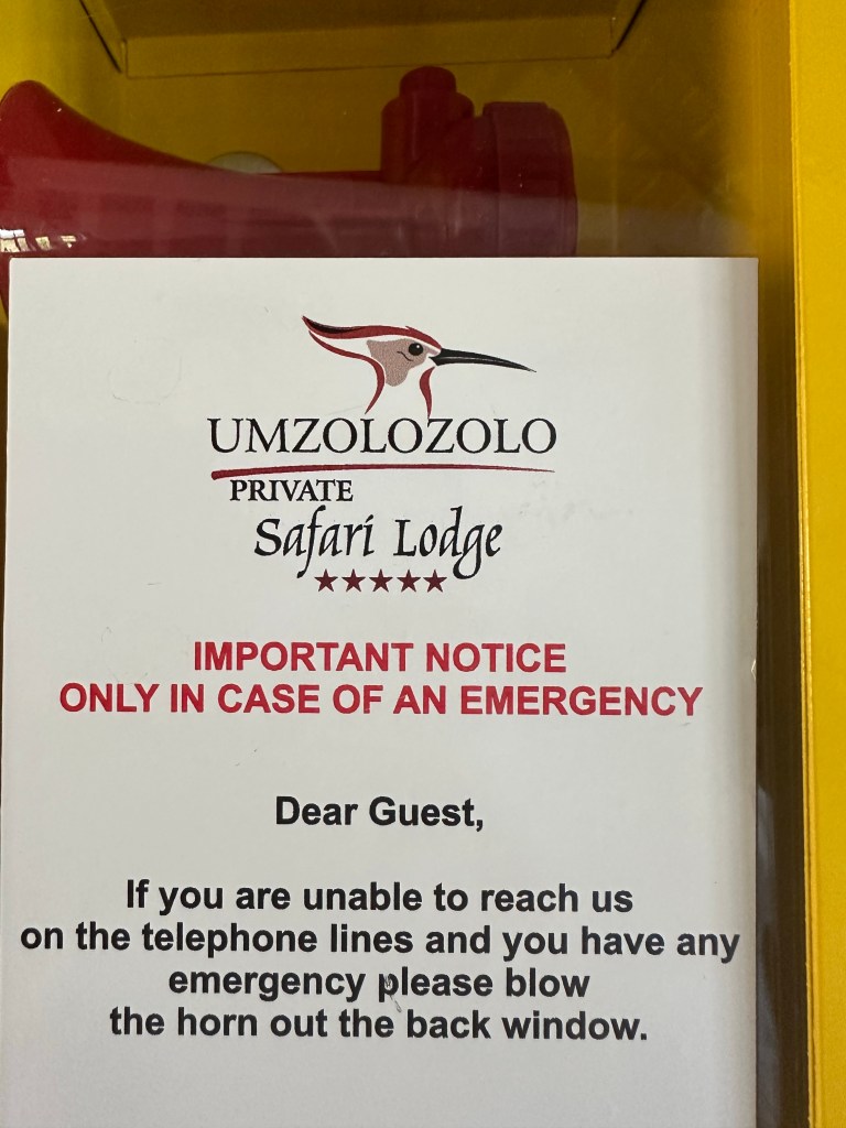
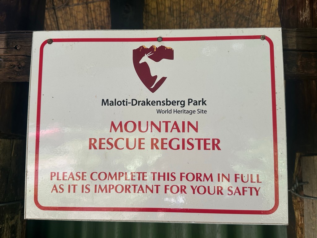

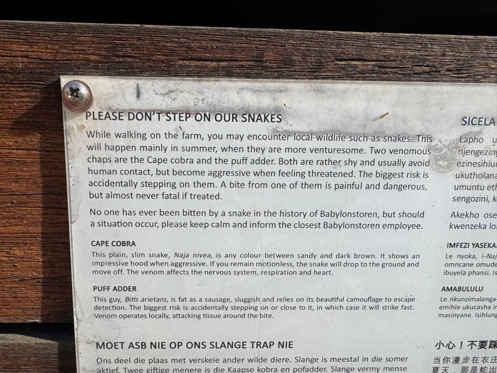
On our Southern Africa trip we saw a numbers of warning signs – many that we wouldn’t expect to see at home ….
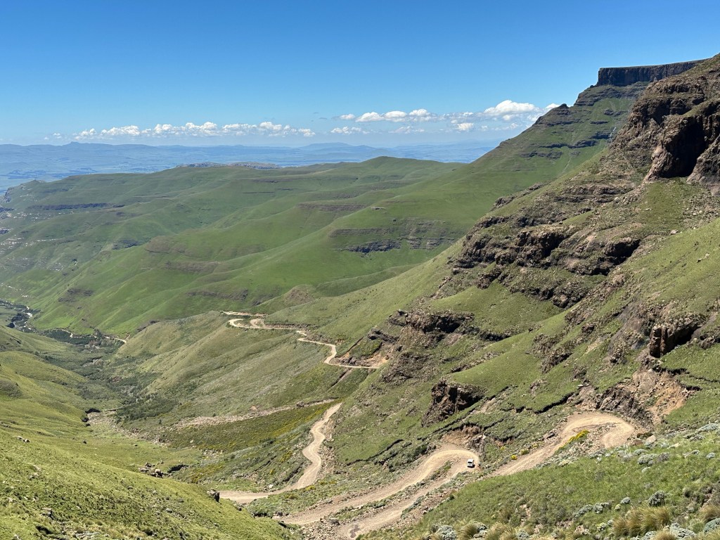
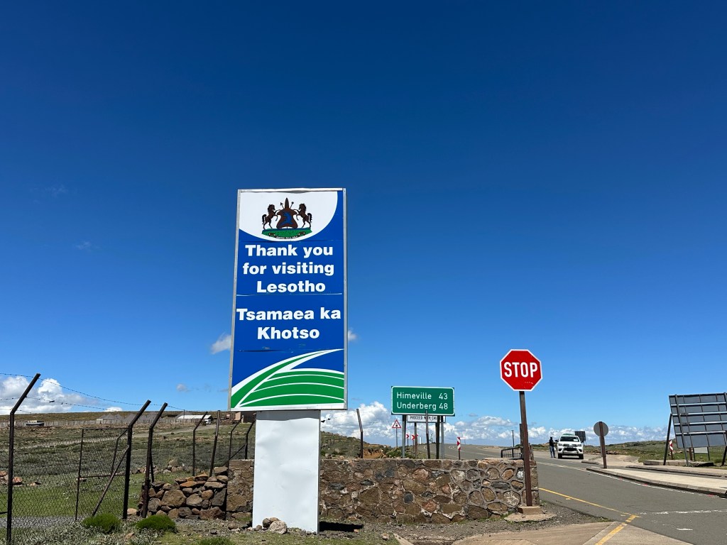
Sani Pass is the only access to Lesotho on the eastern side. A tar road leads to the South African border control. The actual border, with the Lesotho border control, is a further 8 km away and at 2,876 m. It was soon clear why the South African border control is not on the border. The 8 km between the crossings is a single lane rough track, very steep with winding hairpins and only accessible in a 4×4 with a local guide.
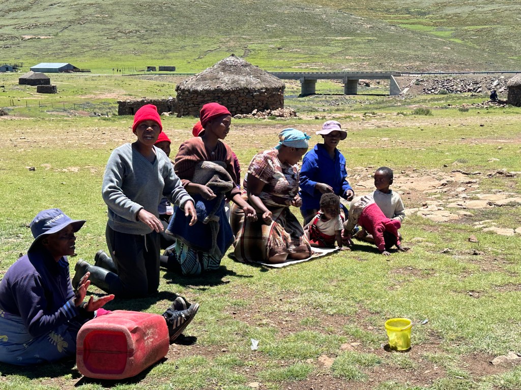
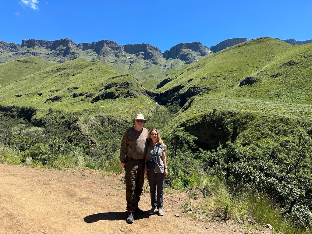
Once on the Lesotho side of the border, the road leads onto a vast open plain, with small settlements and populations earning a subsistence living from sheep farming. Rather incongruously the road becomes new high quality tar. Paid for by the Chinese, we were told; part of the vast infrastructure spend reaching into all corners of Africa.
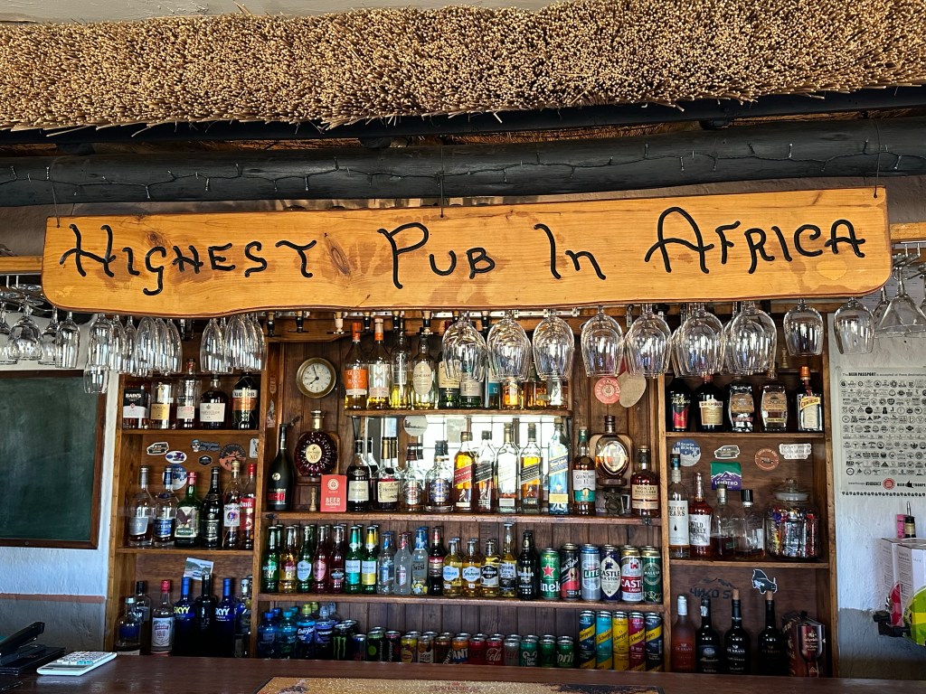
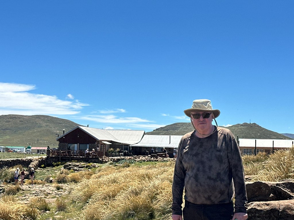
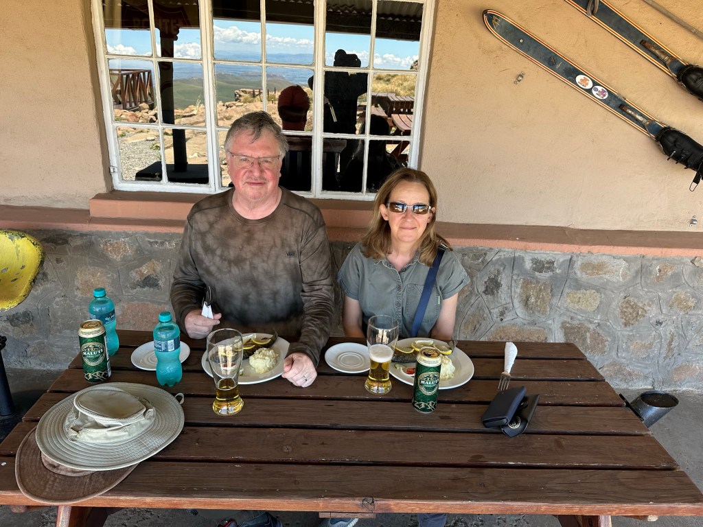
The views were well worth our “African massage” journey and early start. As well as a visit to a local village (a little touristy, but very few tourists and an important source of local income) we enjoyed a short walk and a pub lunch at the highest pub in Africa.
Lesotho is perhaps a geographers dream; some facts
Lethotho means “kingdom in the sky”, justified by its mean elevation of 2,161 m.
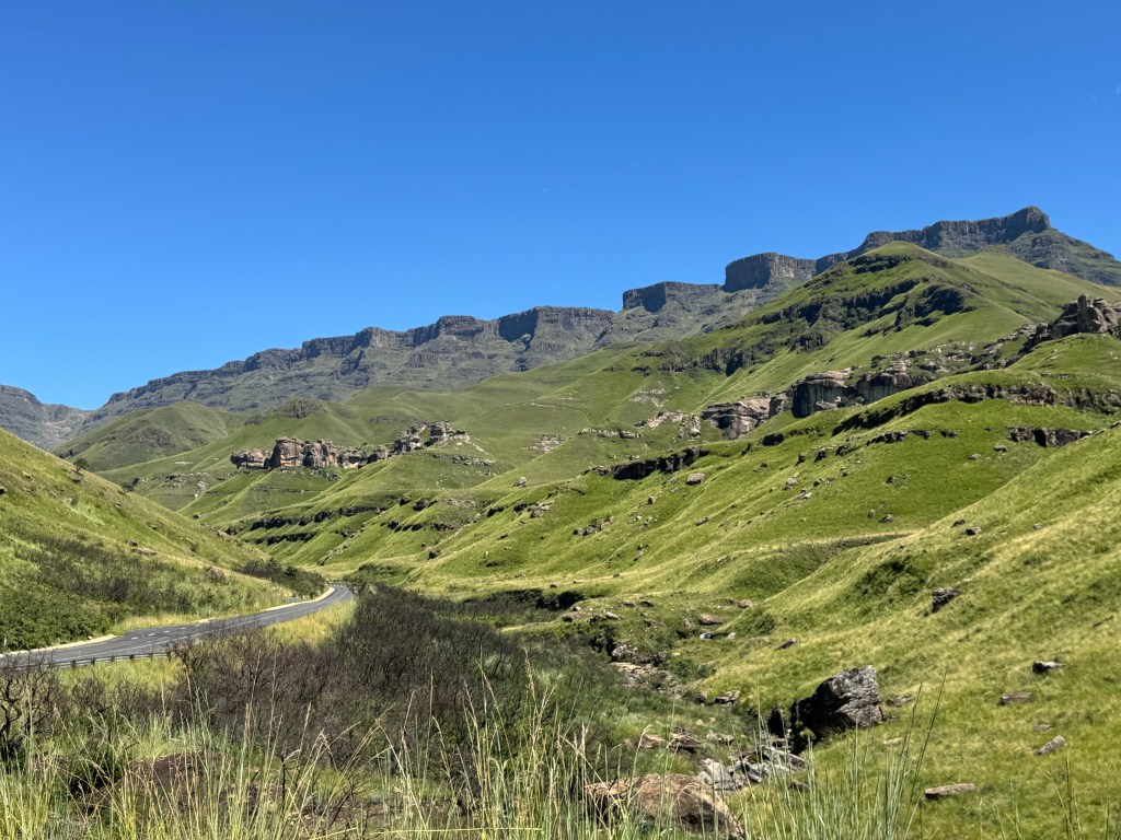
The beginning of the 8km “no-man’s land”