Rottnest Island

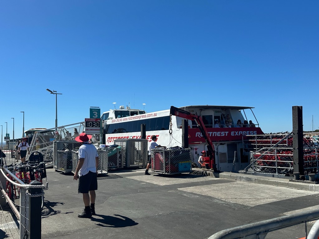
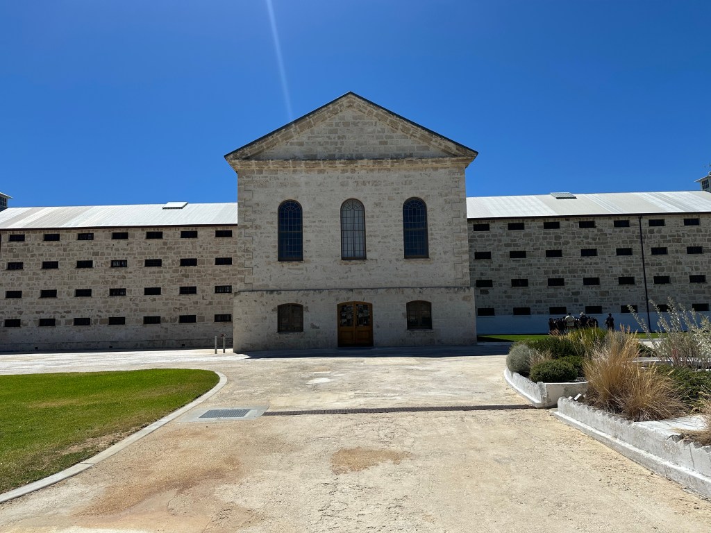
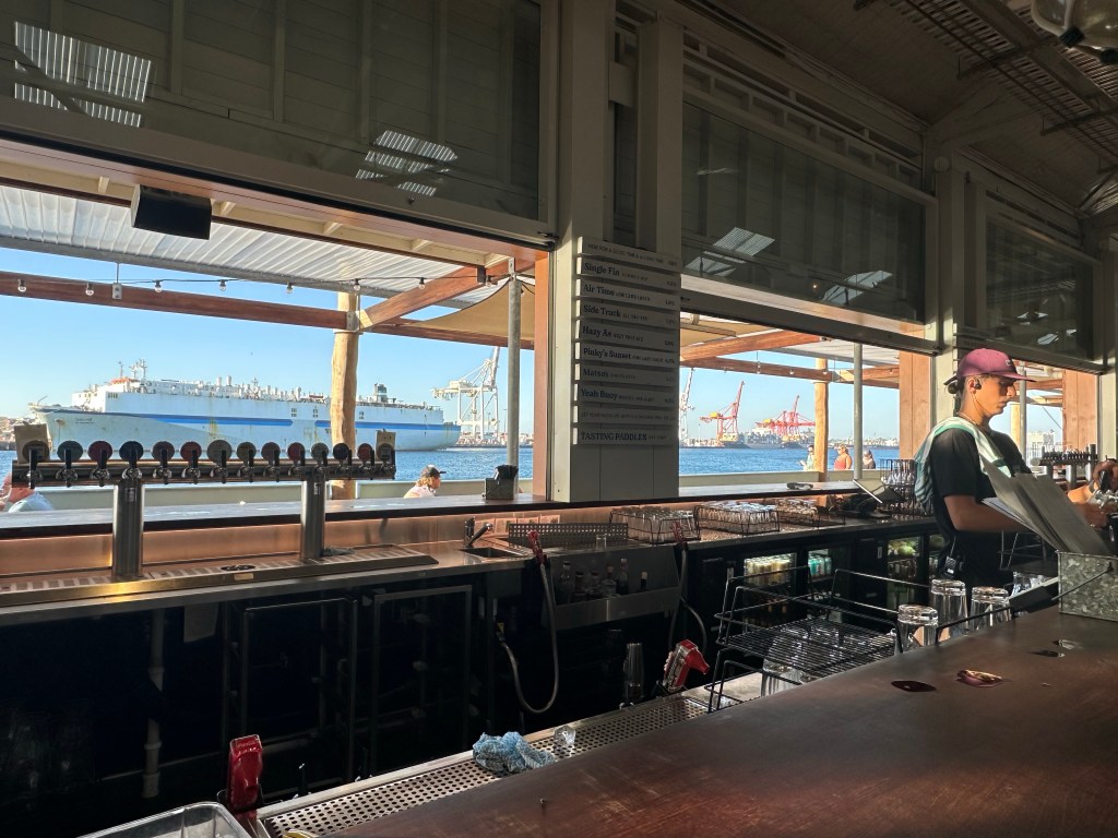
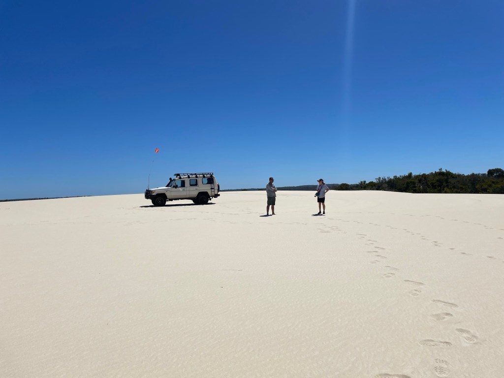
Rotto, as it is called locally, is a 19 sq km island, 18km from Fremantle reached by a 30 minute ferry ride from Fremantle, or a bit longer from Perth. It was named by a Dutch sailor in 1696, meaning “Rat’s Nest” island, mistaking the local marsupials, quokkas, for rats.

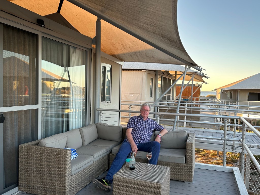
It is now a protected reserve and popular car-free tourist destination. Appromimately 80% of the tourists are day trippers, the remaining being predominently campers, or in our case “glampers”. Most of the overnight visitors are from the Perth area and bring all their gear on the ferry with them – from gazebos to bikes and cool boxes – “checked-in” to cages on the deck of the ferry and transported to/from your accommodation by the ferry operator.

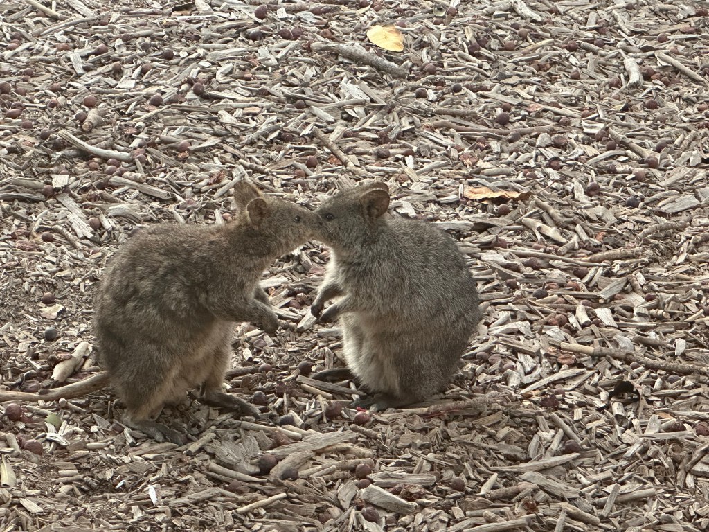
Quokkas can be seen all over the island, especially in the evenings and have no real preditors on Rotto. They are small marsupials, only found in south western WA, mainly on islands with the largest number being on Rotto. They are about the size of a cat but with a commical hop. The females typically have two babies a year, becoming pregnant whilst the first baby is still in her pouch.

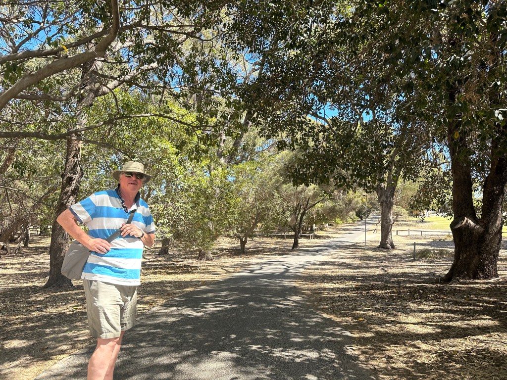
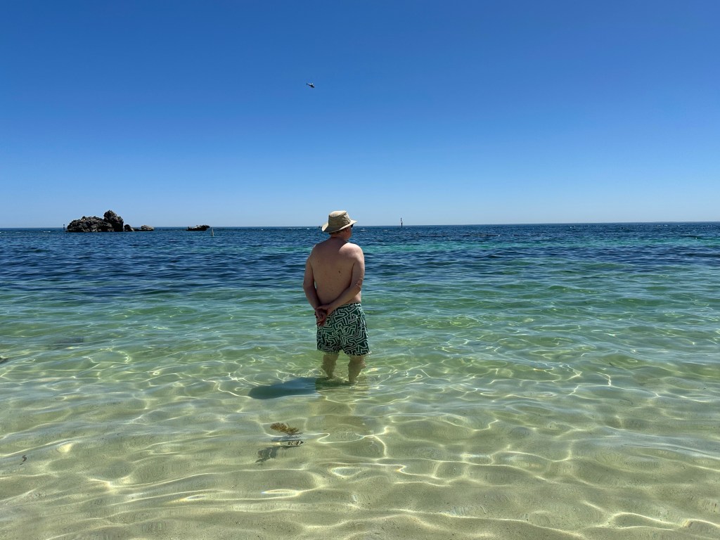
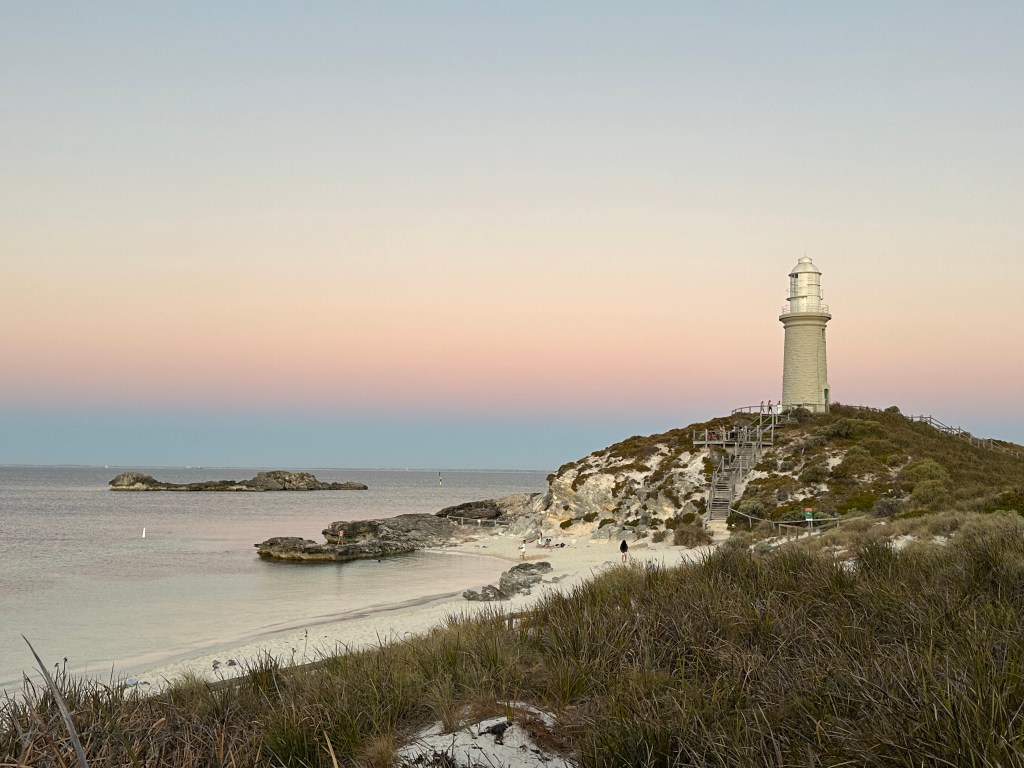
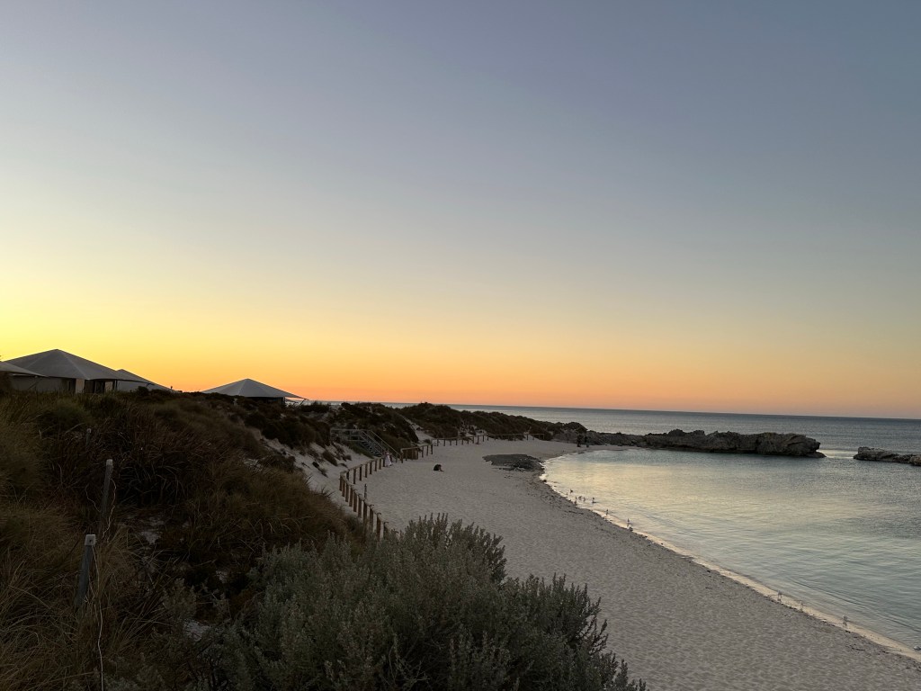
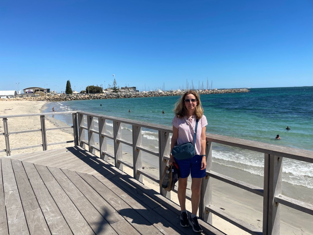
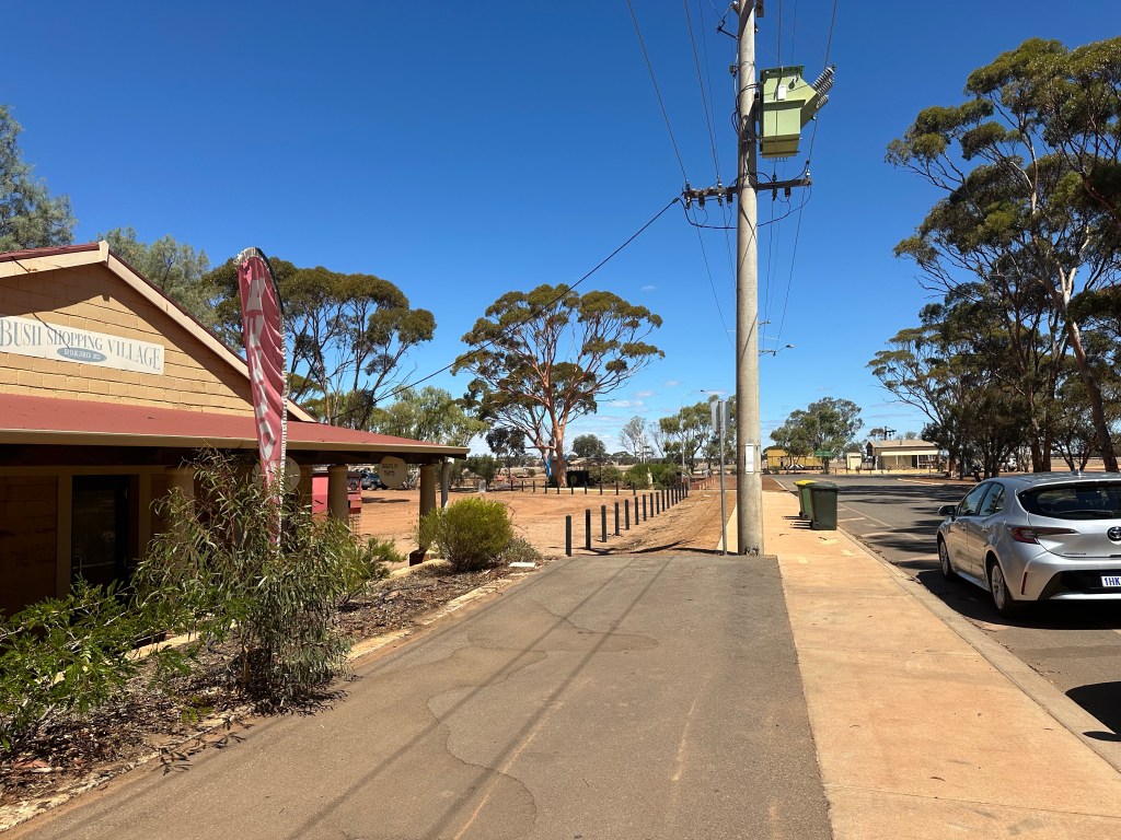
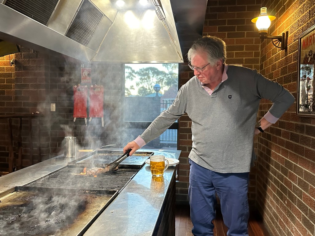
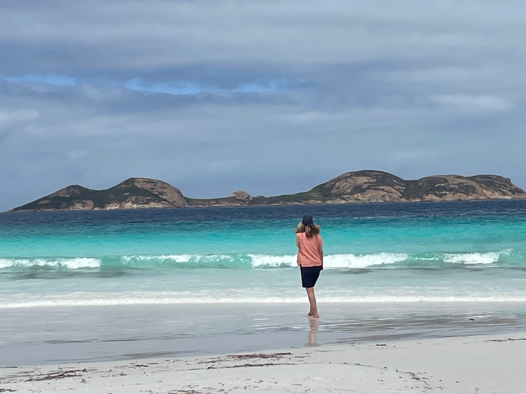
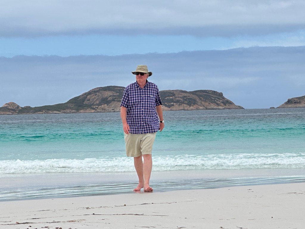
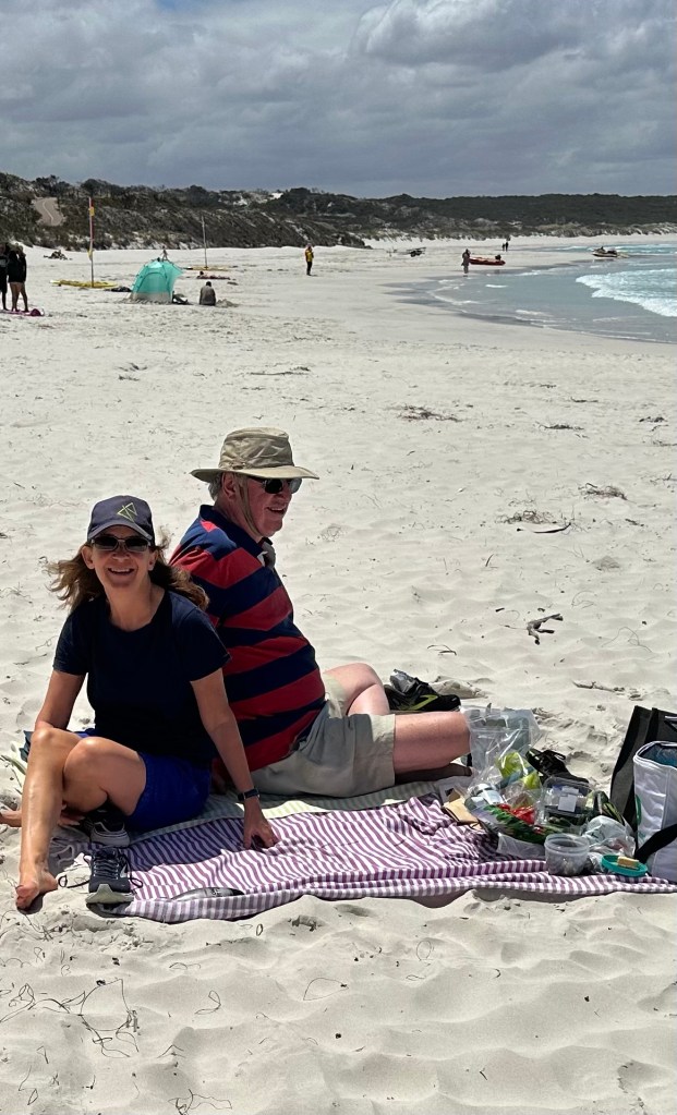
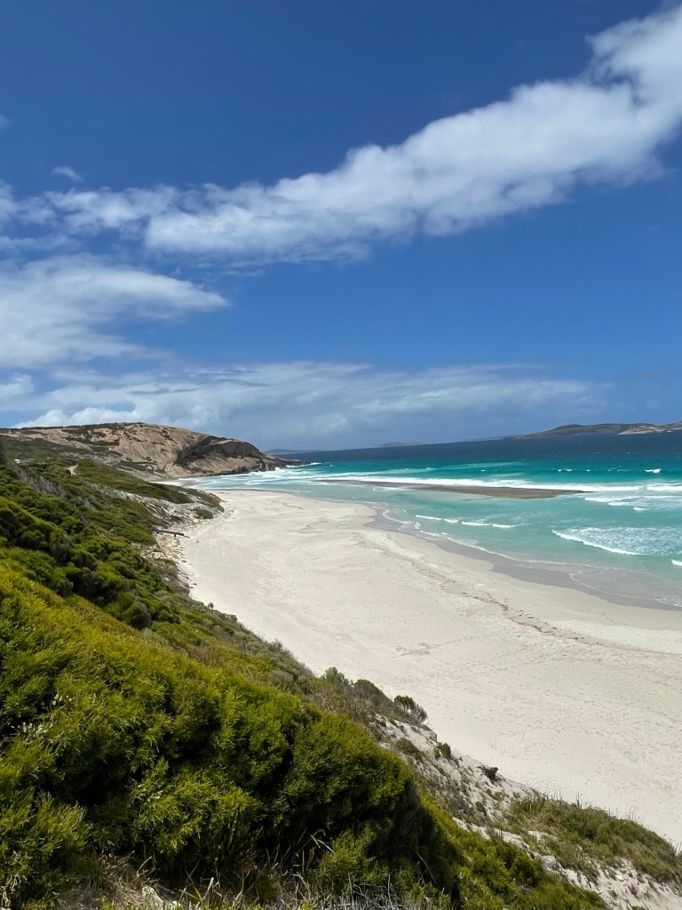
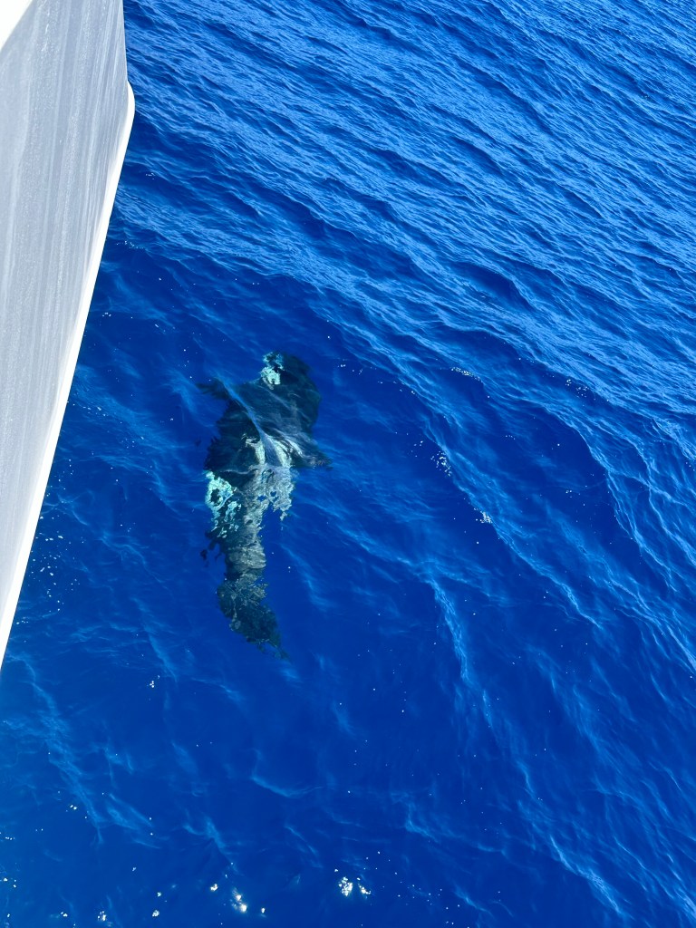
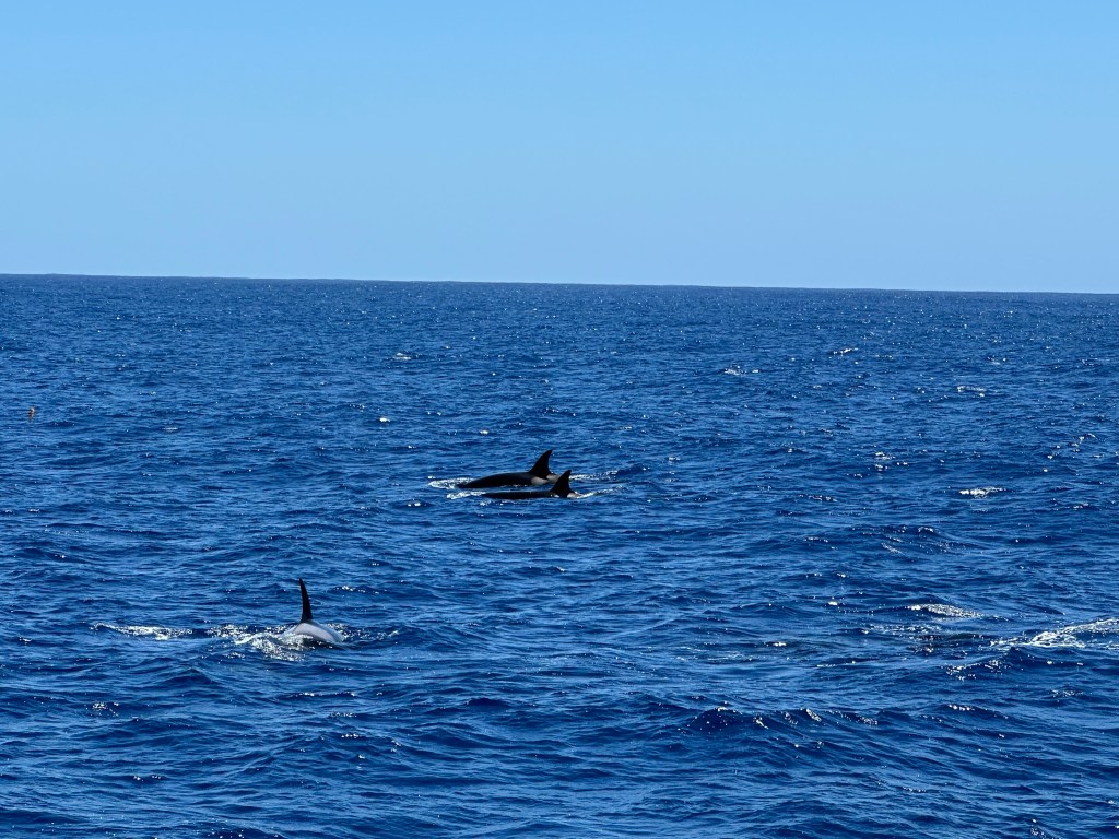
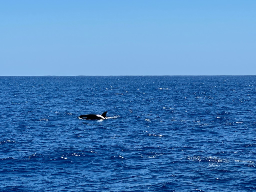
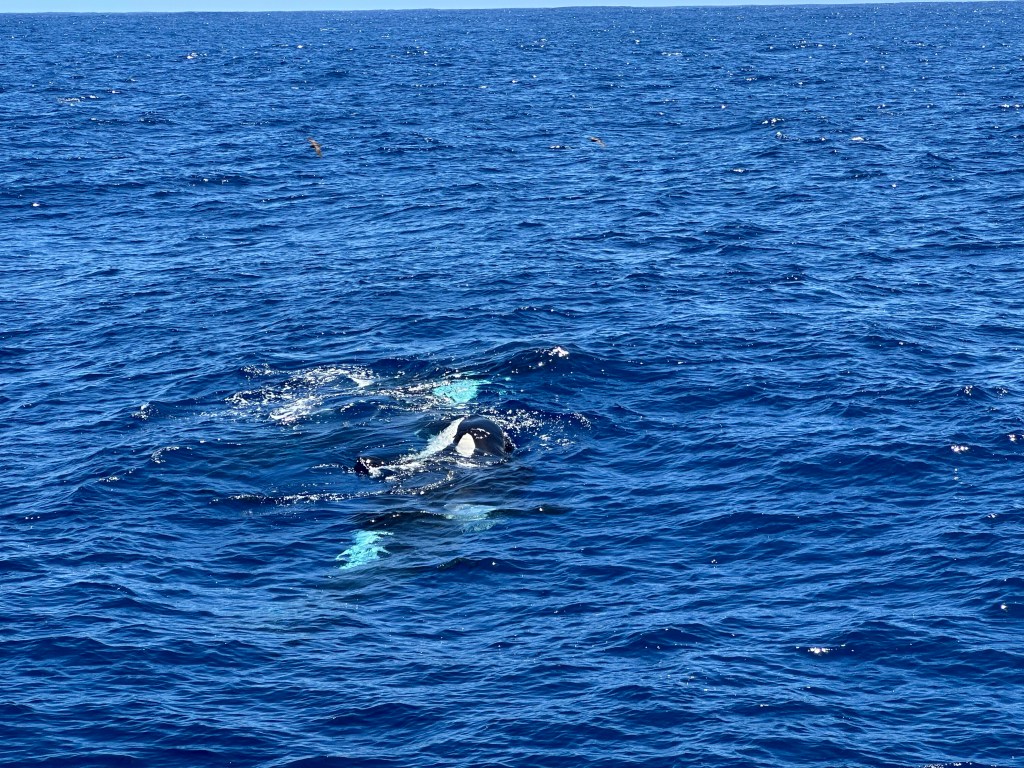
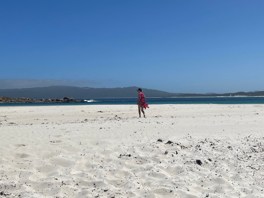
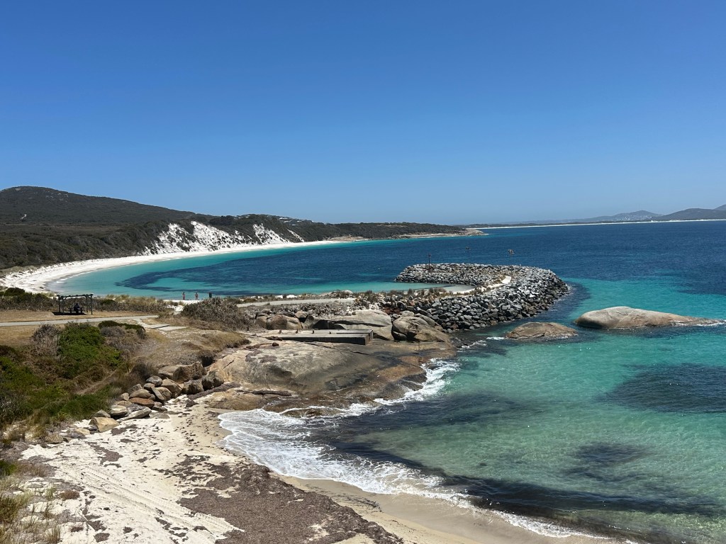
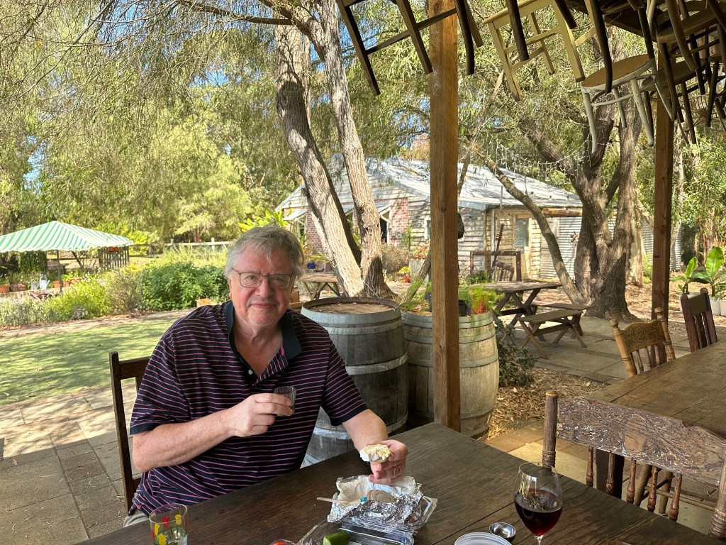
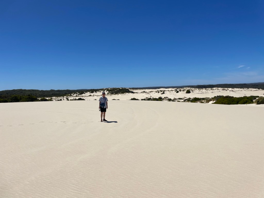
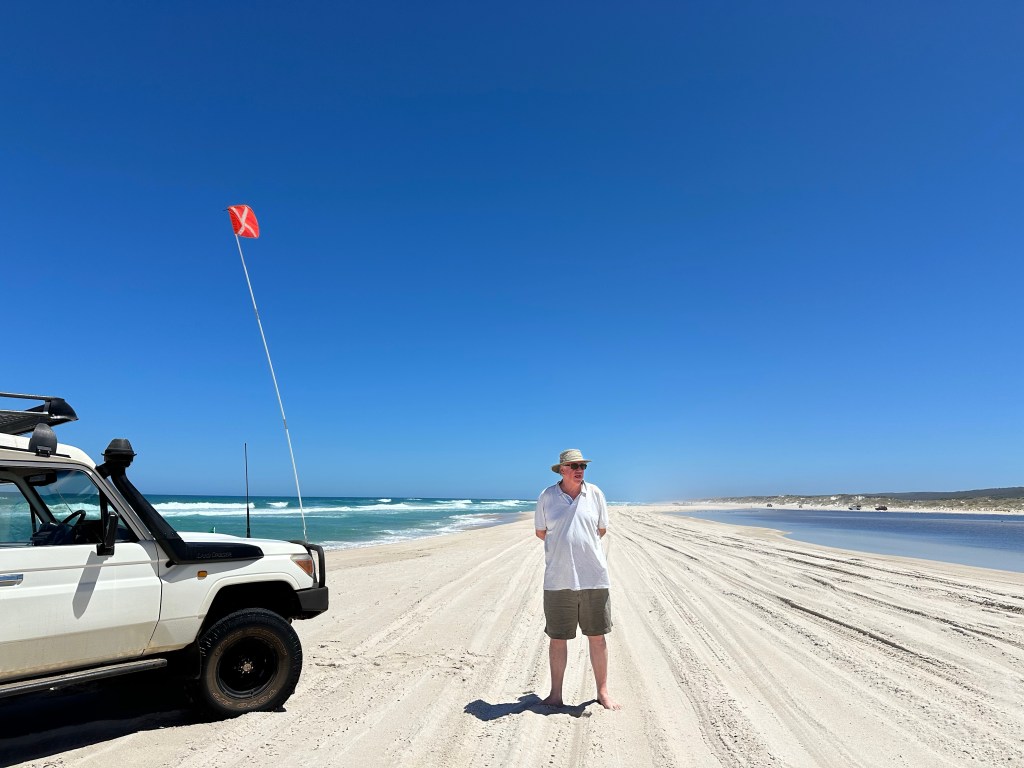
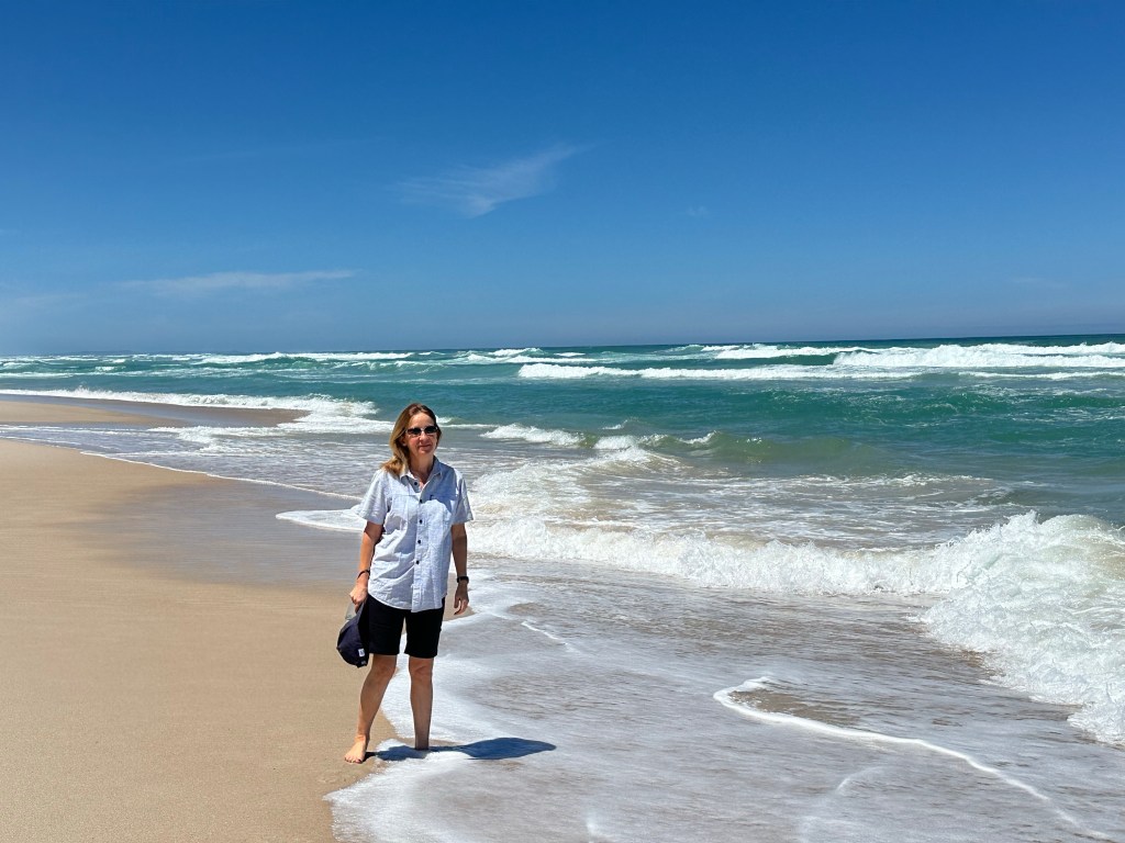
To protect its unique atmosphere as a relaxed family destination within a reserve, Rotto has quite a few rules for visitors. These include limited development – just a few restaurants/bars, one general store, some cabins and a few campsites – a few paths for bikes and pedestrians and “island quiet hours” between 10pm and 7pm. Restaurants have to be empty before 10pm so take dinner bookings for arrival 5.30-7.30pm. We gleaned the local dress code from a Perth uber driver who told Tim to “just pack your thongs (flip-flops to Brits) and a singlet mate”. The beaches were amazing, with one just a few steps from our “tent”, although the sea was colder than we were expecting; refreshing as we were there during a heatwave. We saw dolphins twice, only about 10m from the shore.

Fremantle

After over 3,000km on the roads of south west WA, we returned our hire car to Perth before heading to its harbour city Fremantle, or Freo as the locals call it. It was the first area settled by the Swan River colonists in 1829. The settlement initially struggled until agreement was reached for the transportation of male convicts in the 1850s to build the infrastructure needed for the colony.

The first thing the convicts built was their own prison, opened in 1855. It continued in use as a prison until 1991, when it became a UNESCO world herritage site. The prison was based on Pentonville prison with Royal Engineers responsible for the design, planning and overseeeing of the construction. During our tour we heard stories of prisioners, including the one successful escape by Irish political prisioners in 1876. Life was very tough for the initial prisioners who had to work hard for long hours to gain their freedom. Punishments were frequent which might include solitary confinement or flogging. If the prison doctor thought that a flogged prisioner was at risk of death, he could call a halt to the flogging; however once the wounds had been treated, the prisioner was subjected to any remaining lashes. On an interactive screen you could check your surname against a list of convicts. Neither of ours matched, but we did find matches for some of our relatives with different surnames and friends !

On the harbour front is the National Maritime Museum which covers the history of Frementle as a port and Australia as a maritime nation. During WW11 Fremantle was used as a submarine base by the US navy. More recently it was a base for Australia’s America’s Cup win in 1983 by Australia11. After the victory celebrations, the Australian Prime Minister Bob Hawke said “Any boss who sacks anyone for not turning up today is a bum” !

Today, Fremantle is a busy commercial port and a trendy waterside suberb for Perth residents. For us, it was a great base for a “pit stop” after our road trip while enjoying the cafe and beach culture.

Our apartment overlooked the marina
Breakfast spot
Prison
Throughout its use, the prison accommodated far more men than it had been built for
The prison’s Anglican chapel
Brewery/bar overlooking the harbour
Australia11
Dinner in North Fremantle

Wave Rock – Hyden

Returning to the Perth area, we had a stopover in Hyden. Throughout this area of WA, we drove through the Wheat Belt, which covers 155,000 sq km (a bit larger than England and Wales). As its name suggests, it comprises what seems like endless fields of wheat dotted with large grain silos and bins. The wheat is transported by road trains upto 42m in length carrying the wheat to railways and harbours.

Hyden, with a population of less than 400, has one motel (and a couple of campsites) supporting the tourists visiting nearby Wave Rock and passing truck drivers. At the motel reception we had a lesson on the local poisonous snakes and a request not to park in the truck park. Dinner comprised buying meat from a counter, cooking it yourself, a trip to a salad bar and BYO wine. A simple but very good arrangement.

Wave Rock is a geological formation of granite 15m high and 110m long on the edge of a solitary hill. Adjacent is Hippos Yawn, the name being evident from a visit.

Ravensthorpe silo mural, one of seven in WA
Hyden’s Main Street

Stonehenge (Esperance)

In 2008 a wealthy man from Margaret River decided to build a replica of Stonhenge, as it is thought to have been originally built to the same scale, using pink granite from Esperance. The blocks, weighing upto 55 tonnes, were to be transported 711km by road. The quarrying completed and the money having run dry, it was then realised that this was a bad idea and the project was cancelled. In 2011 a local farmer took over the project and completed it 1km from the quarry and it has now become a local tourist attraction. It is just off the road to Lucky Bay, so the local government decided to build a fence along the road to prevent the dangers of “rubber necking” near the crest of a hill; maybe a solution for the A303.

Esperance

Esperance is the last significant town of WA before the border with South Australia, although it is still over 700km away as the crow flies. Esperance has a population of less than 14,000 in its shire, which covers over 42,000 sq km (twice the size of Wales). When we booked our trip for the first time, before the pandemic, one of the main attractions was its pink lakes; which are now no longer pink due to weather conditions.

However, the area around Esperance has mile upon mile of the most beautiful bays and beaches we have ever seen. Inspite of this, they are very quiet as Esperance is so far from anywhere and only has a handful of basic motels and campsites. The best known beach , Lucky Bay, named by Captain Flinders who found safe anchorage there, was voted the Best Beach in the World in 2023. Our favourite, because it was even quieter was Twighlight Bay beach, but it was almost impossible to chose as there were so many with very few people. In all, over two days, we visited around a dozen for picnics, swimming, walks and photo stops.

The lake, still named “Pink Lake”
Some beaches, including Lucky Bay, have access for 4WD, mostly campers and utes
Lucky Bay
Lucky Bay
Twilight Bay

Orcas

A two hour drive east of Albany is the small town of Bremer Bay, population 211. During the months of January – April, it becomes the the home of Whale Watch Western Australia, who operate daily boat tours in search of Orcas. The tours are run by a crew, the key members of whom are members of the family owners of the business, who are passionate about the orcas and are closely involved with scientists in orca data gathering and research. As they spend so much time with the orcas they can recognise pods and members of the pods from their size and markings and are therefore able to name them- every name has a story.

An area of the ocean approximately 20km from Bremer Bay is rich in the nutrients on which giant squid feed. The squid can exceed 10m in length and attract orcas and whales which feed upon them. The orcas will also kill and feed on beaked whales.

We followed a pod of orcas hunting for beaked whales over several hours. On this occasion, the whales escaped despite an amazing display of teamwork led by the main female, named Sheryl. On the way back we saw a second pod with evidence of two squid kills. This pod is led by Queen, named because she is the cleverest and best hunter.

National Anzac Centre

On 1 November 1914 the first contingent of soldiers from Australia and New Zealand left for Europe from Albany in 36 ships carrying 30,000 men and women (primarily nurses) and 12,000 horses, destined ultimately for Gallipoli. On 1 November 2014, the National ANZAC Centre was opened on the hill top overlooking the harbour they sailed from, to commemorate and tell their stories. Visitors are given the identity of one of 32 individuals to follow in interactive displays. Sarah was the commander in chief and Tim was a photographer, both of whom subsequently died during the war.

Albany

Albany is the most southerly town in WA and also one of the largest in the state with a population of 35,000. Between 1952 and 1978 the town had a whaling station; now the main industries are tourism, fishing and agriculture, which includes a small but growing wine industry. In 2015, Oranje Tractor, a small eco vineyard was visited by Charles and Camilla (they also visited the National Anzac Centre) and we followed in their footsteps.

The town is surrounded by white sand beaches and a stunning coastline.

Picnic spot on our way to Albany
Albany swimming beach overlooking Shelter Island
A whaling ship at the restored whaling station
Platform overlooking “the gap”
Hiking to the blowholes
The fish and chip shop named as the best in WA

E’Entrecasteaux National Park (DNP)

DNP is 130km long stretching along the south coast of Western Australia. It is named after a French admiral who was the first European to sight the area in 1792. To the chagrin of the locals he never actually set foot on the land bearing his name. The park contains beaches, dunes, forests and rivers. Much of the DNP is only accessible by 4WD vehicles which have had their tyre pressure reduced. There is a map symbol for such roads, of which there are quite a few in Western Australia. As our hire car was far from suitable, we found via the internet Graeme, a guide and local eco expert with all the gear required to take us across rough terrain, through the dunes and onto a 30km almost empty beach.