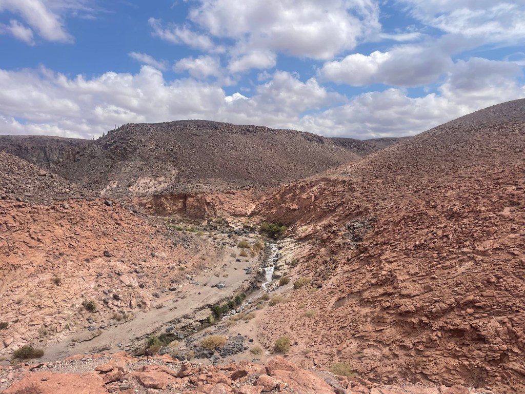
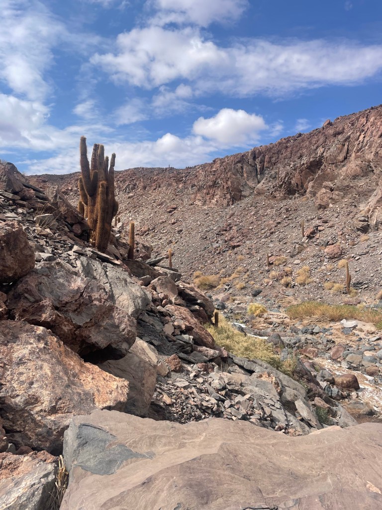
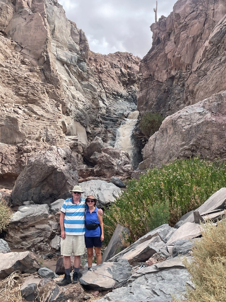
The Vilama River is the main water source for San Pedro de Atacama. We hiked to a hidden waterfall via steep rocky slopes at altitudes up to 3,400m. While not a long hike, this was the most strenuous and technically demanding hike we undertook due to the terrain and slope, but it was worth it for the scenery, waterfall and cacti.
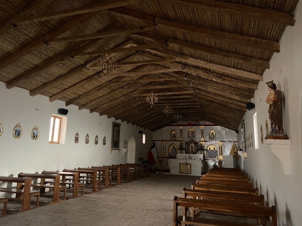
The cacti are now protected, but were used by the locals as a source of wood as there were no trees and they have a hard wood centre. They grow very slowly, only 1m every 50 years, with deep roots searching for water. On our trip to the salt flats we had stopped at a small village where there was a church with a roof made from this type of cactus.
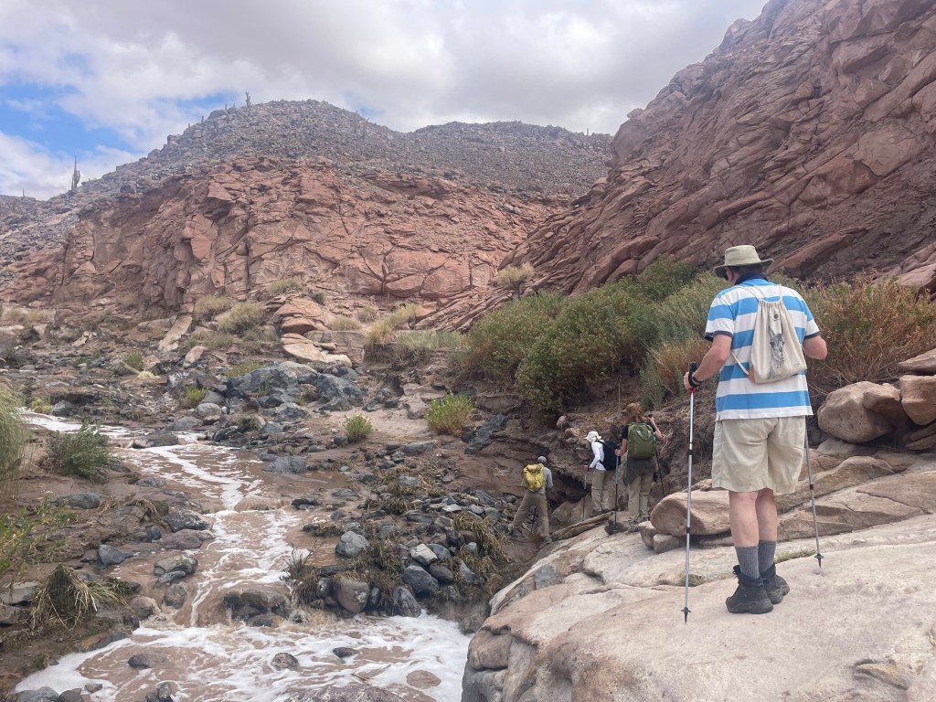
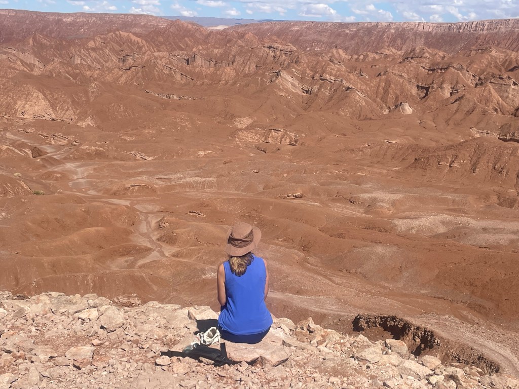
This was intended to be a medium level hike to the Devil’s mouth and walk through a narrow canyon. We managed to do the difficult half before having to turn back when the guide found out that our car could not get to the pick up point because the road had disappeared. We managed to get to the lookout point but then had to do the difficult part in reverse, down the steep rocky mountainside. No injuries, a spectacular view and almost no one else on the route – well worth the effort (including on the guide’s part, taking care of our safety!).
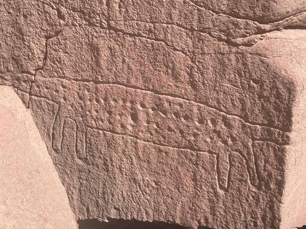
Our guide showing the routeAncient petroglyph Lunch back at the lodge
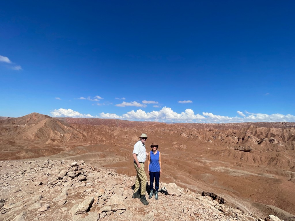
Our lodge provided half day and full day excursions in the desert, of varying levels of physical difficulty and altitude. Most of the excursions are between 2,400m and 3,400m but two are above 4,000m. Our initial plans were disrupted by the weather as roads were either flooded or blocked by snow and ice. To manage the altitude we planned the higher trips after a couple of days of acclimatisation as well as taking other advice, including no alcohol !
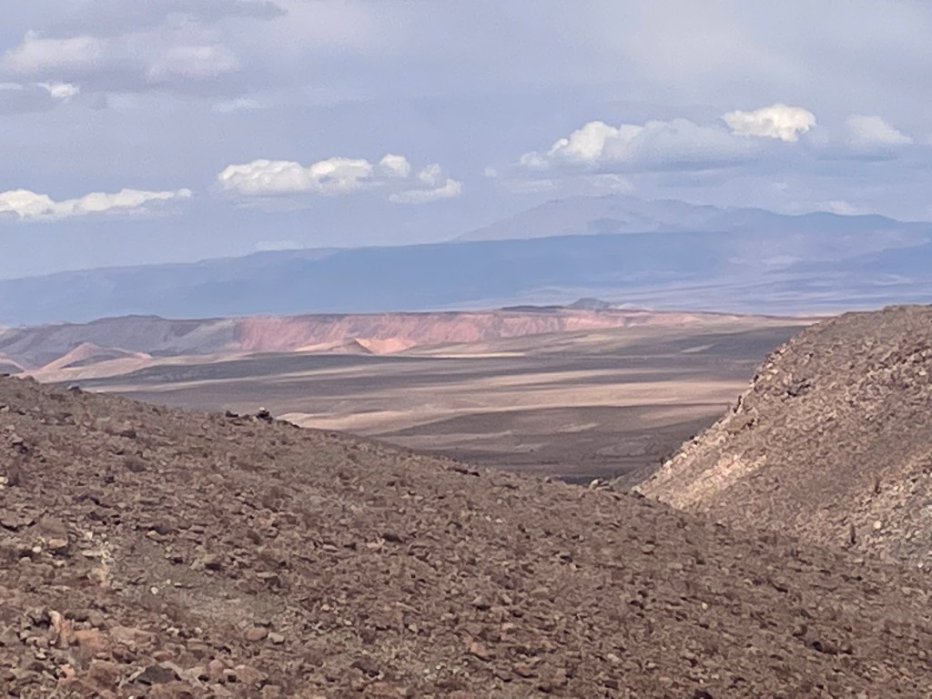
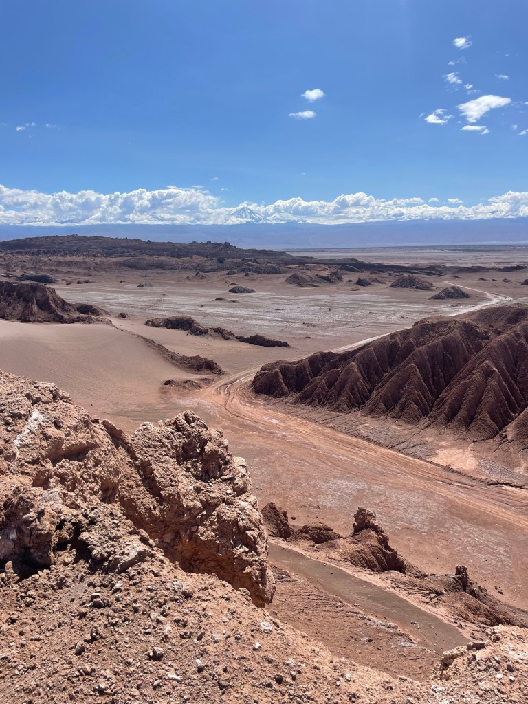
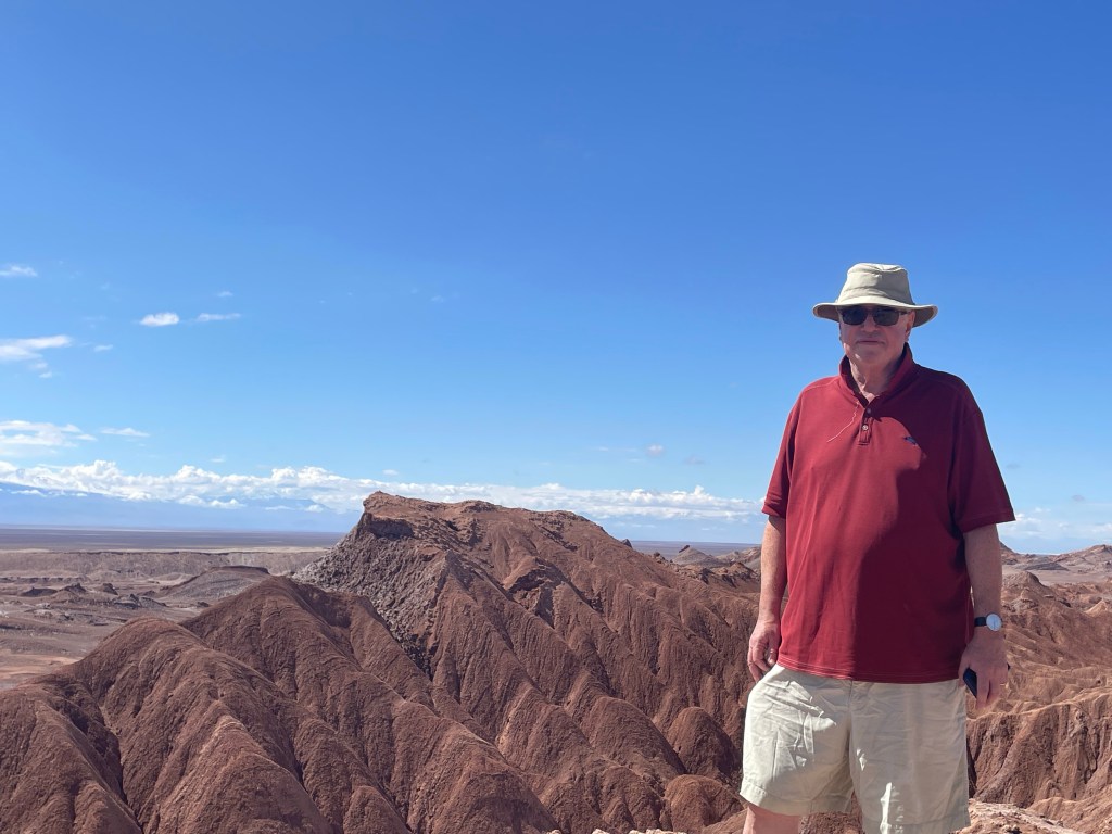
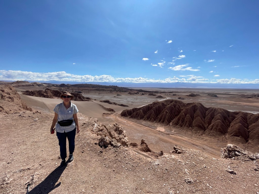
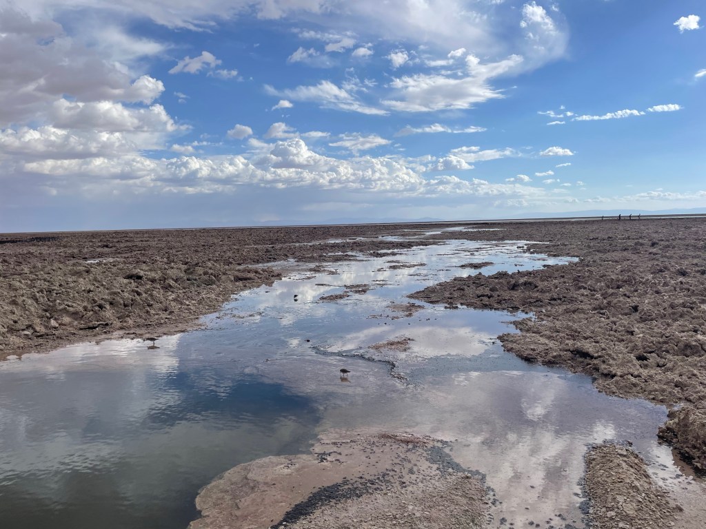
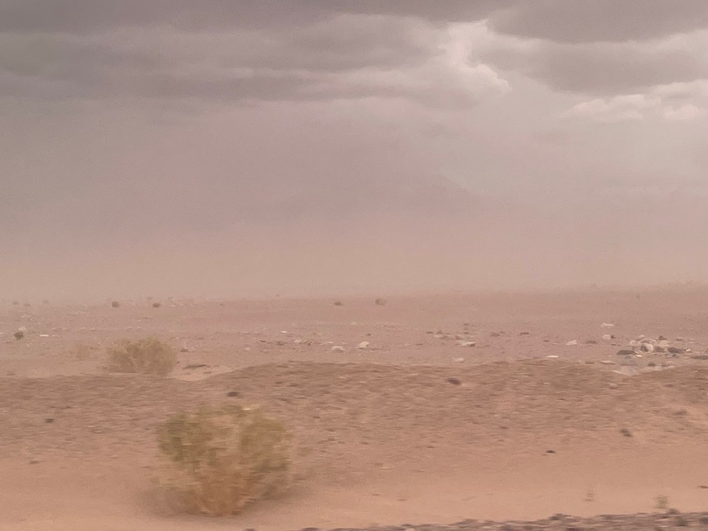
On our first day we visited Vallecito, which is a quiet part of Moon Valley. We then visited Salar de Atacama, the largest salt flat in Chile. We discovered that the mornings would be bright and sunny with clouds developing in the afternoon to give high winds and thunderstorms by late afternoon. At the salt flat we experienced rain and a sandstorm. The salt lake is home to flamingos feeding on 1cm long shrimps that inhabit the salty lagoon, giving the flamingos their pink colour.
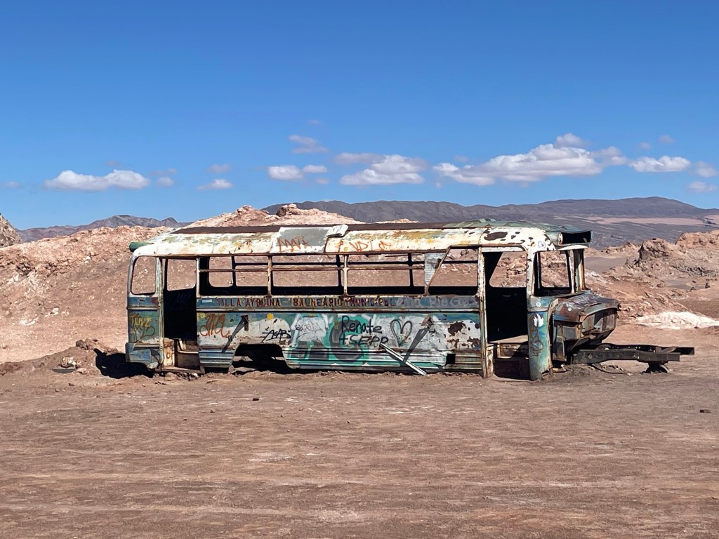
The scenery of Moon Valley lends itself to film locations, including Quantum of SolaceThe impact of wind and sand erosion A former miners’ bus – the area was the site of a number of salt minesSalt flatsFlamingos (if you look closely) and gathering storm cloudsConcurrent sand and thunderstorm
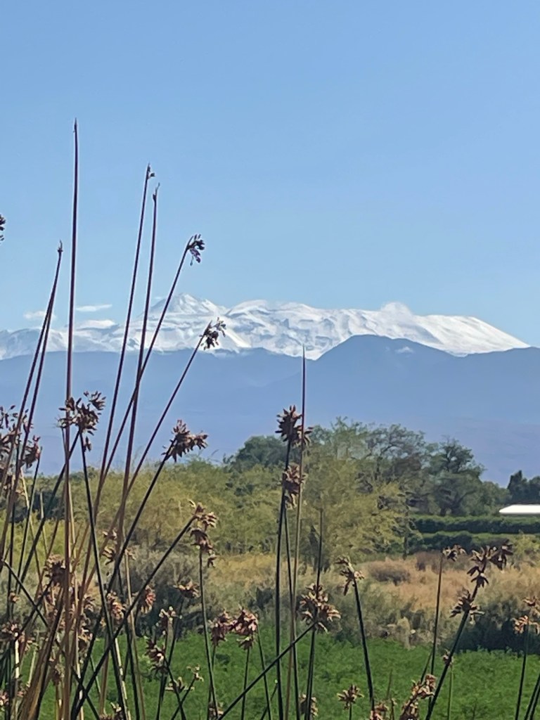
The Atacama Desert is a strip of land west of the Andes covering over 105,000 square km and is the driest non-polar desert in the world. According to the locals in a ten year weather cycle, it has eight dry years, a medium “wet” year and a “wet” year (wet being a relative term in the context of a desert which, by definition, has less than 25cm of precipitation per year). The wet season, the Altiplanic Winter, is in the summer and lasts up to two months. It is caused by the reversal of the wind direction, so that the wind flows across the Andes from Bolivia during what is known as the Bolivian winter, rather than the normal direction from the Pacific. The precipitation is very localised, falling as rain or snow, depending on the altitude; it is believed that parts of the desert have not had any rain in 500,000 years
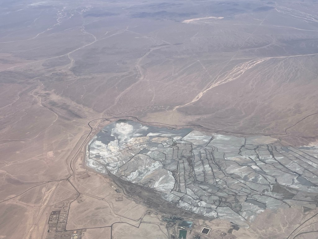
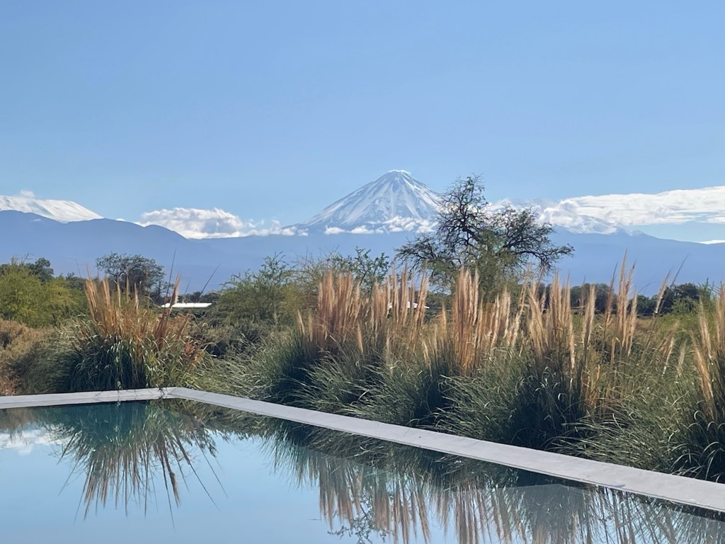
We stayed in San Pedro, an oasis in the desert, during one of the medium wet “winters”, at an altitude of 2,400m. It is the centre for tourism with a population of almost 5,000. The other main industry in the area is mining, predominantly copper and lithium. The lithium mining is controversial as it uses a lot of water and consequently is not good for the ecosystem. The lithium is exported, mainly to China for the production of batteries.
Most tourists and miners fly into Calama (the mining centre) from Santiago, a two hour flight – hiking gear and hard hats being the carry on luggage of choice.
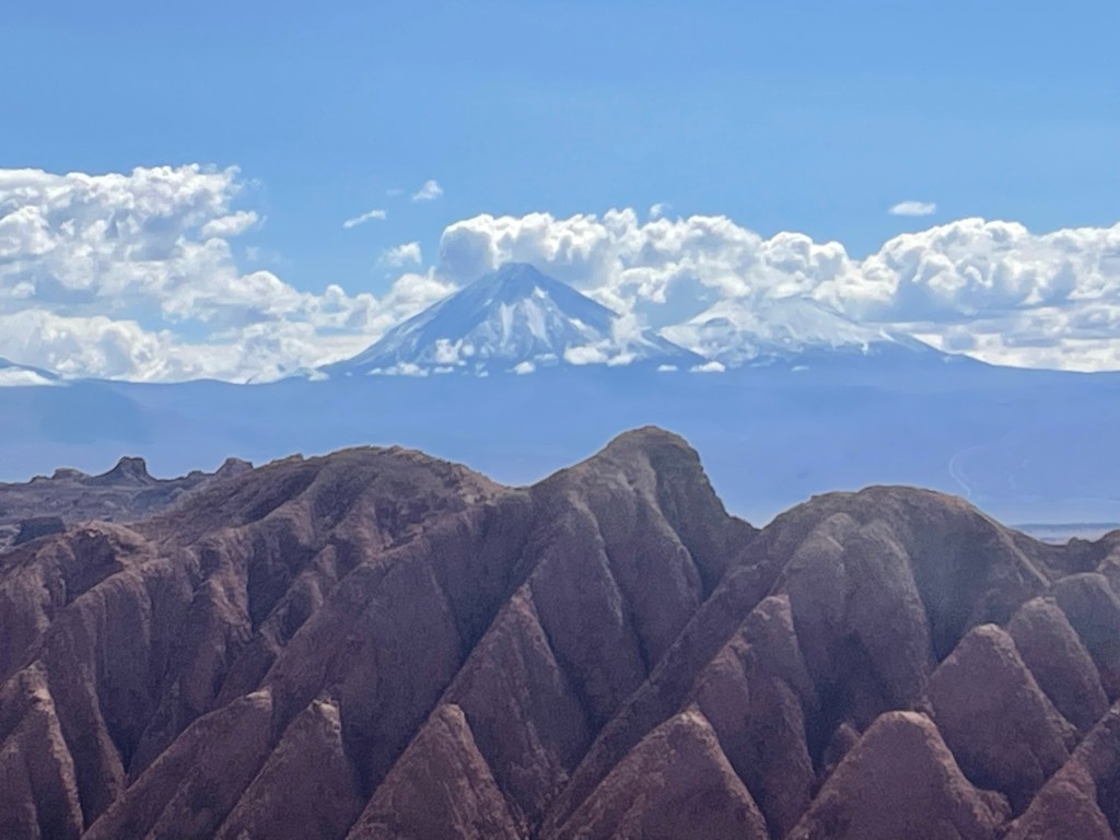
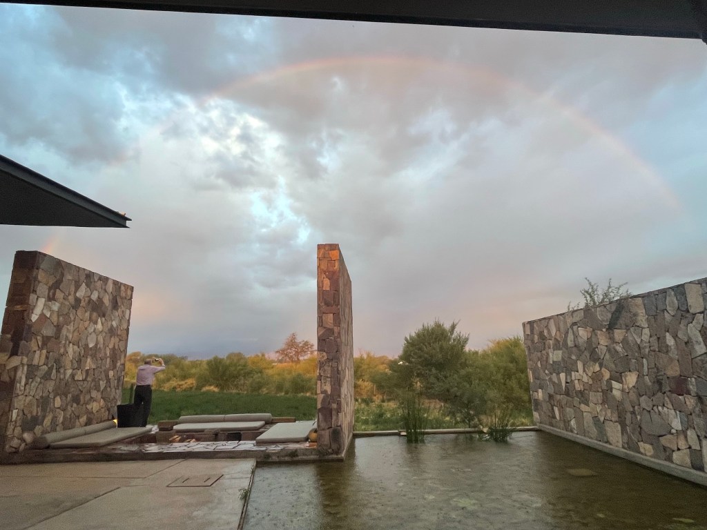
Lithium mine CalamaFrom our lodge – Licancabur (extinct) volcano, on the border with Bolivia at 5,916m, in the background. Rainbow in desertThe snow capped mountains, also on the Bolivian boarder
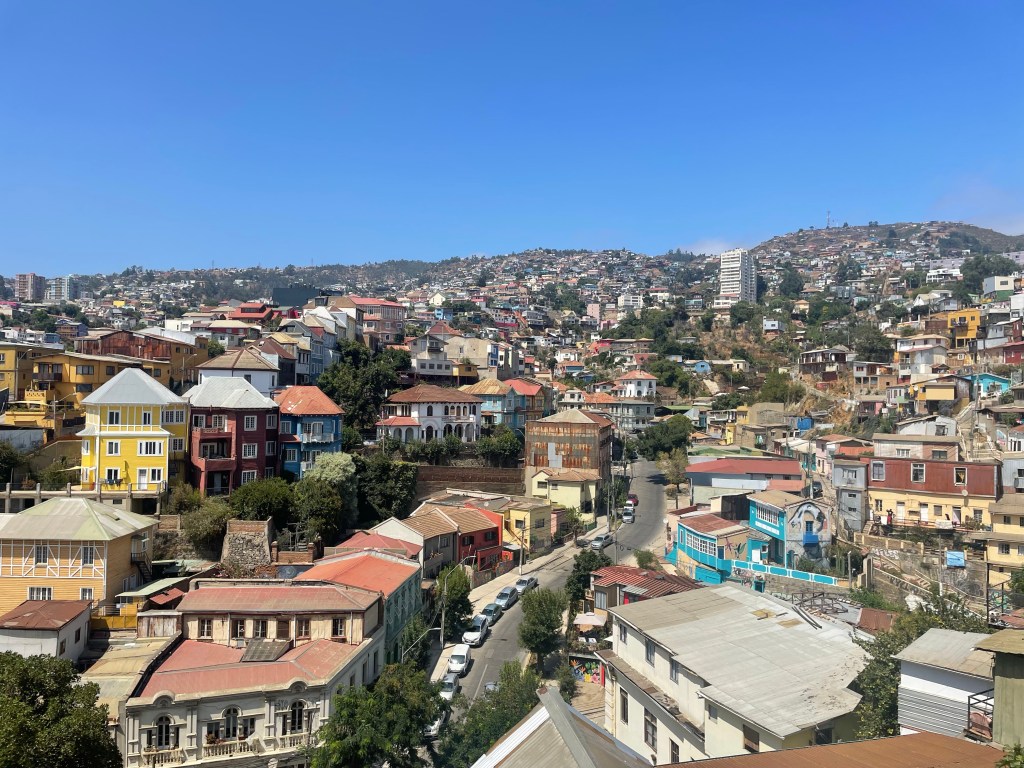
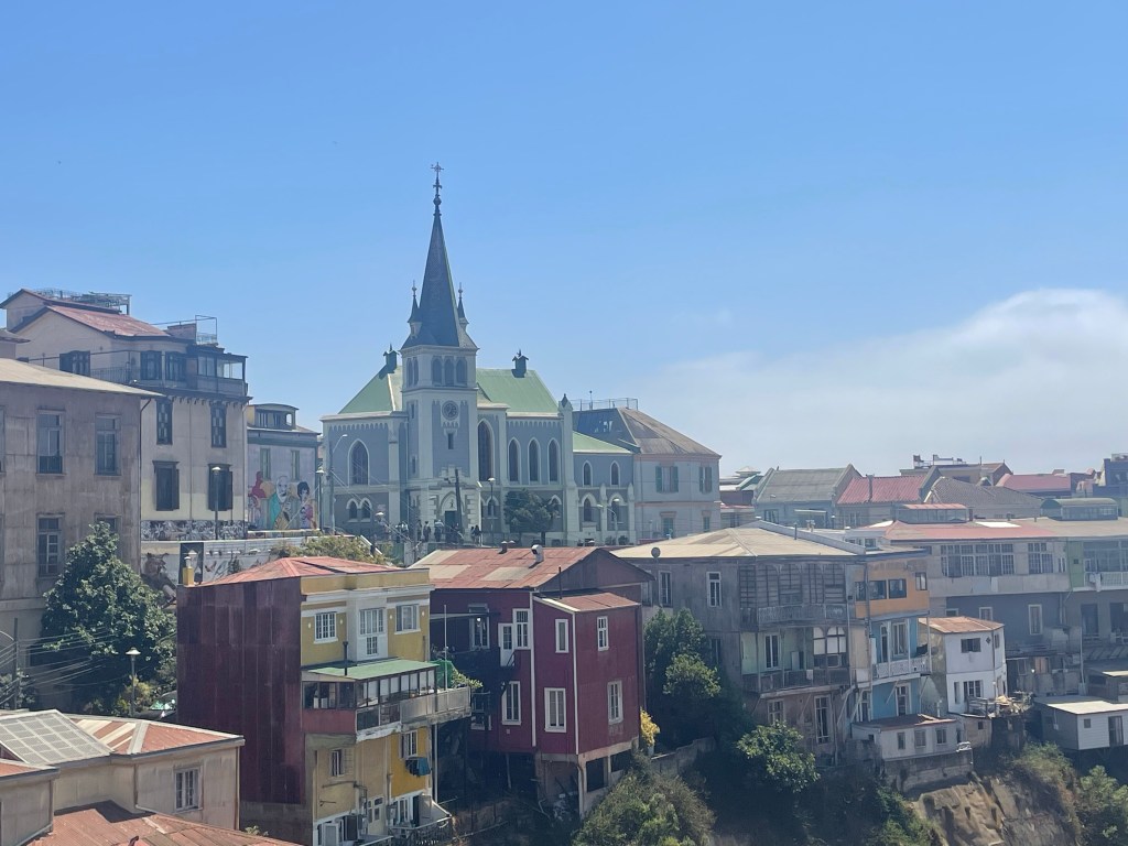
Valparaiso has been described as a dilapidated, colourful, poetic wonderful mess. From the times of Spanish colonialism and English seamen, including Sir Francis Drake, it was a major stopping off port for ships rounding Cape Horn. During the Califonian gold rush of 1849, mining supplies came through Valparaiso. It lies on the coast, 116km from Santiago, but with a very different climate – the day we visited, Santiago reached 36 C and Valparaiso 22 C, with cloud and a cold wind until lunchtime.
The Chilean navy was founded here with the first Vice Admiral being Lord Cochrane, who had been a captain in the Napoleonic wars, but was convicted of Stock Exchange fraud. Valparaiso is still home to the naval acadamy and was a major influence on Chile winning the Pacific War against Bolivia and Peru in the late 19th century, resulting in Chile incresing its land by 30%.
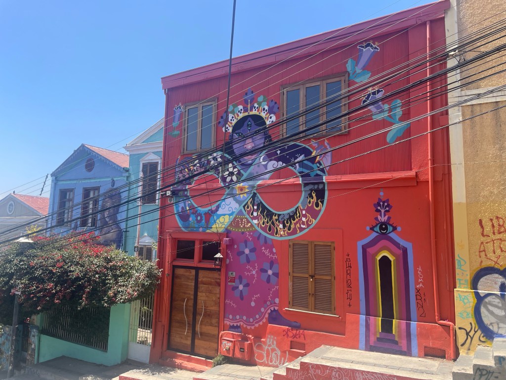
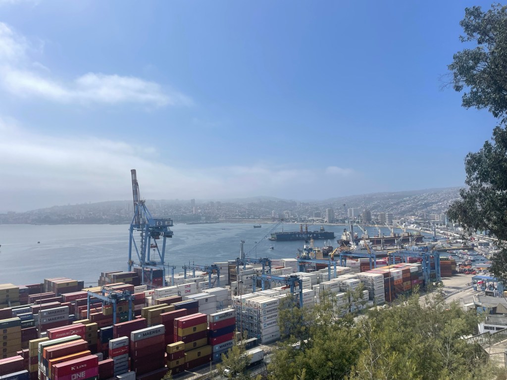
Following the opening of the Panama canal it declined, but the city built on steep hills remains colourful and artistic with separate districts for each of the immigrant European nations, reflecting their respective architechture. These include British, German, Yugoslavian, French, Swiss and Italian. It remains a significant port and is a large student city with several universities.
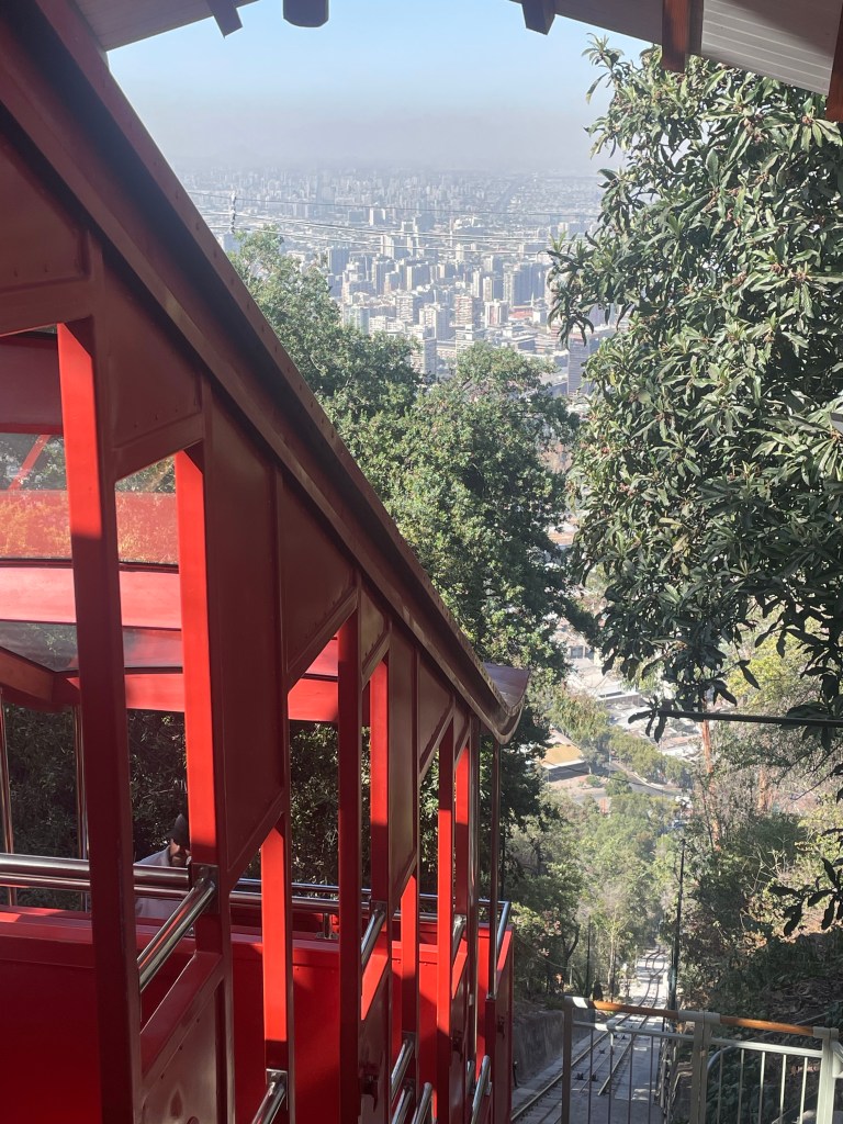
One of several funiculars built around 1900 to help get around the city Many buildings are decorated with muralsA church in the German districtThe portHouse built by a wealthy Yugoslav merchant The “Armada de Chile” buildingThe headquarters of the shipping authority- the building could not be repaired after an earthquake in 2017, so a glass building was built inside the existing exterior Fish lunch with our guide
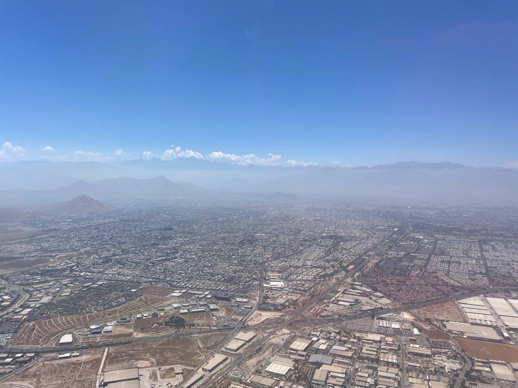
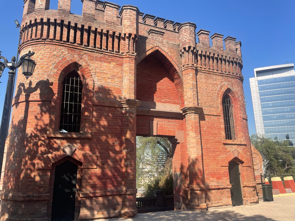
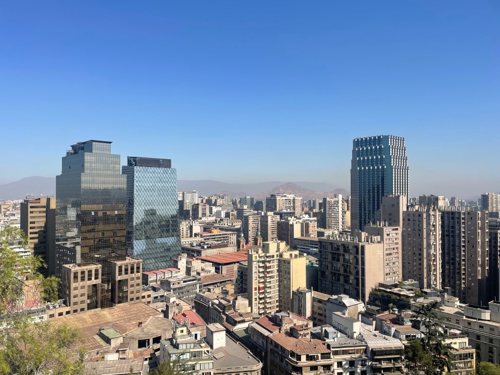
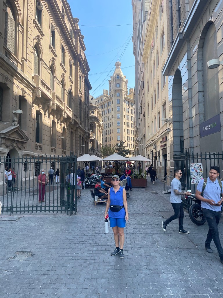
Santiago is the capital city of Chile, founded by the Spanish in 1541, with a population of nearly seven million (Chile’s total population is approx 19m). Chile became independent in 1818 and its first leader was Bernardo O’Higgins (explaining the number of O’Higgins road/square names). He was the illigitimate son of an Irishman who served in the Spanish Army and became a wealthy landowner in Chile.
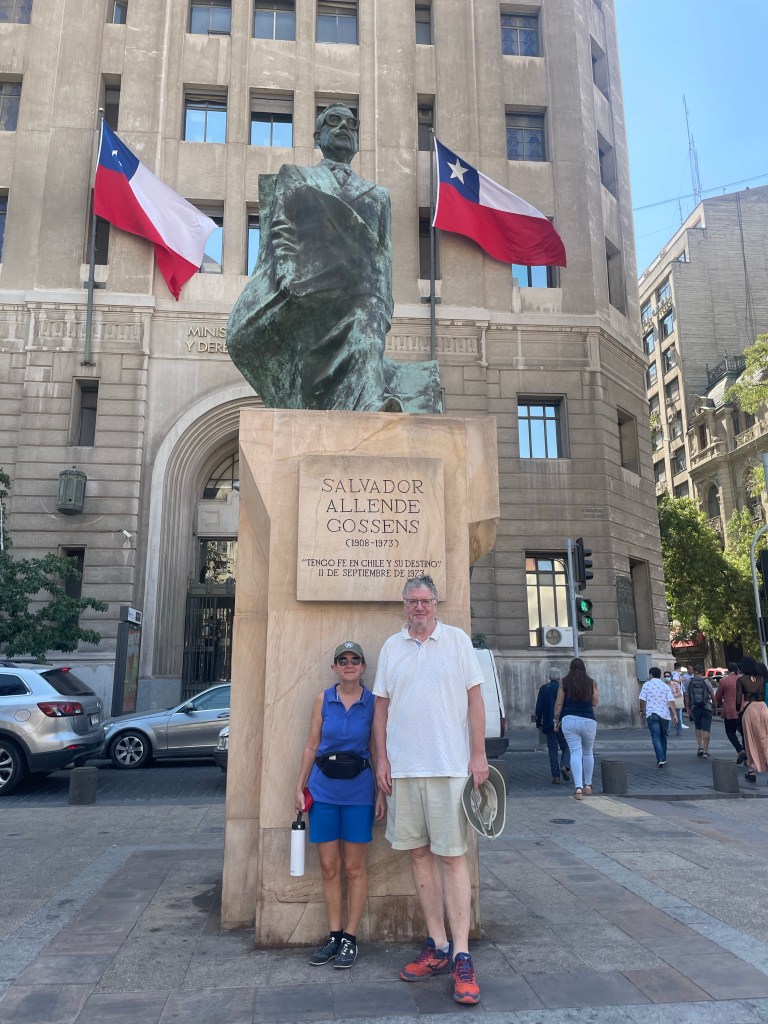
The city still bears the aftermarth of the military takeover by Augusto Pinochet in 1973 supported by the CIA. The marxist elected president Salvador Allende committed suicide rather than being captured. Pinochet’s regime came to an end in 1990 and democracy returned to Chile.
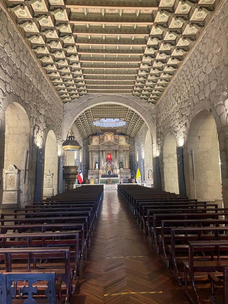
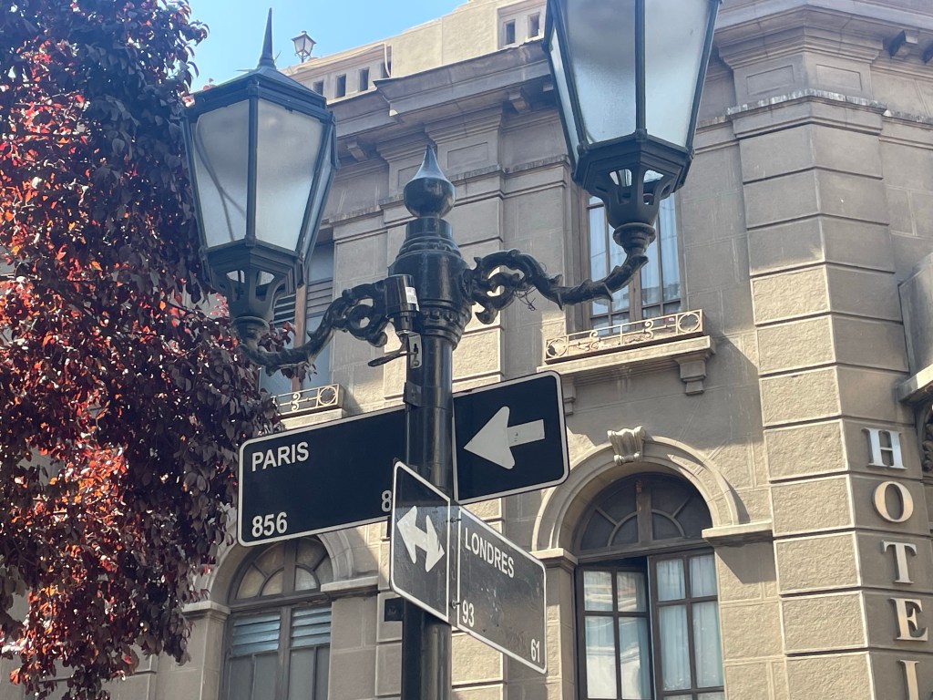
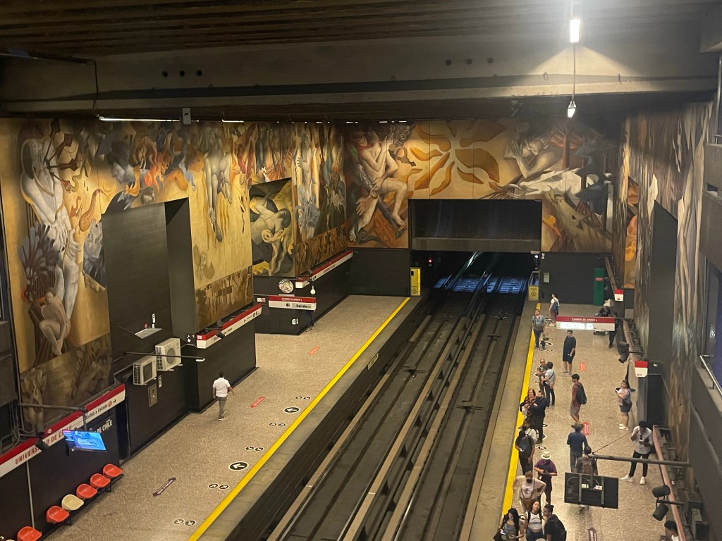
Entrance to the fortifications on the top of St Lucia HillView from St Lucia hillSt Francis of Assisi parish church – the Oldest Church in Santiago “Paris Londres” district of Santiago – a number of the buildings were gathering places for socialists during the Pinochet yearsA metro stationSantiago’s financial district with its flat iron building. There is also a newer financial district further out of the centreStatue of Salvador Allende outside the Presidential Palace (used as offices, no longer a residence)Funicular at the Metropolitan ParkFrom the restaurant on our last night in Santiago
Chile is almost 2,700 miles long, stretching from the dryest desert in the world to the most southerly mainland in the world, yet, its average width is only 109 miles. The diversity is incredible with active volcanos (the worlds highest volcano at 6,891m is in Chile), geysers, earthquakes, vineyards and glaciers. This in turn is reflected in the diversity of climates and wildlife.
If a map of Chile is superimposed on Europe, it stretches from the most northern point of Norway to the coast of Libya. The same exercise with Chile turned on its side, in relation to the US shows the length of Chile as equating to New Hampshire to San Francisco.
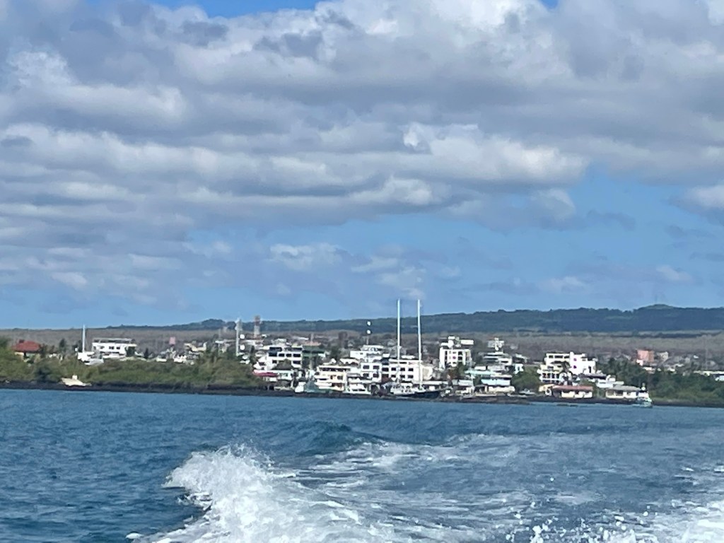
Guayaquil is a major port and although not the capital (which is Quito) it is the largest city in Ecuador with a population of over 3 million.
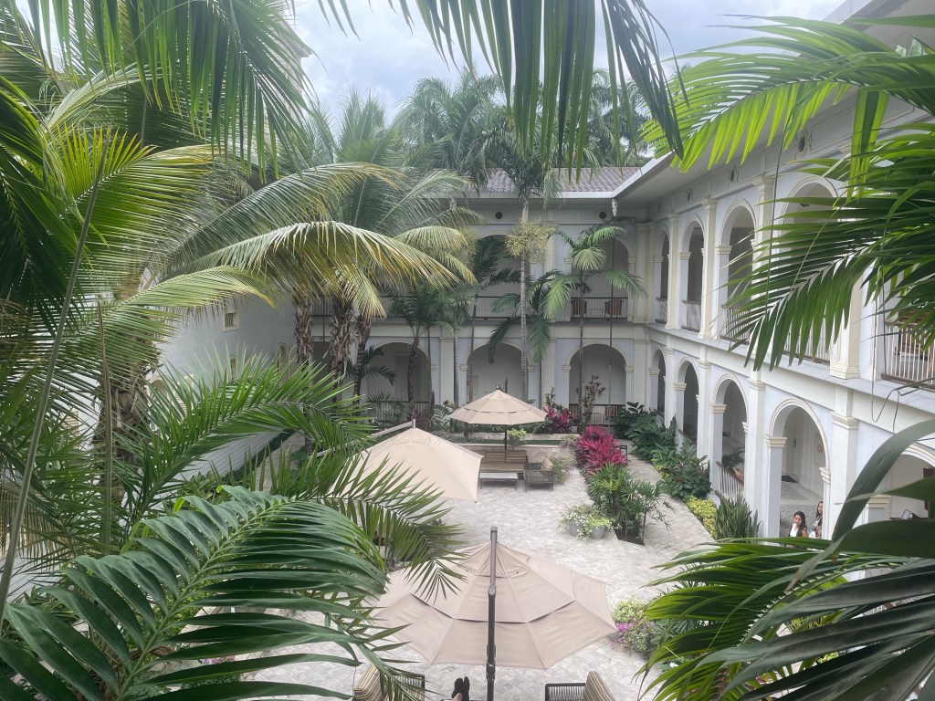
We stayed in a historic building converted into a hotel. It was built as a hospice and when threatened with demolition was acquired by The Bank of Ecuador who facilitated its move, brick by brick, to the current location in the city’s historic park. The central part of the hotel still operates as a chapel.
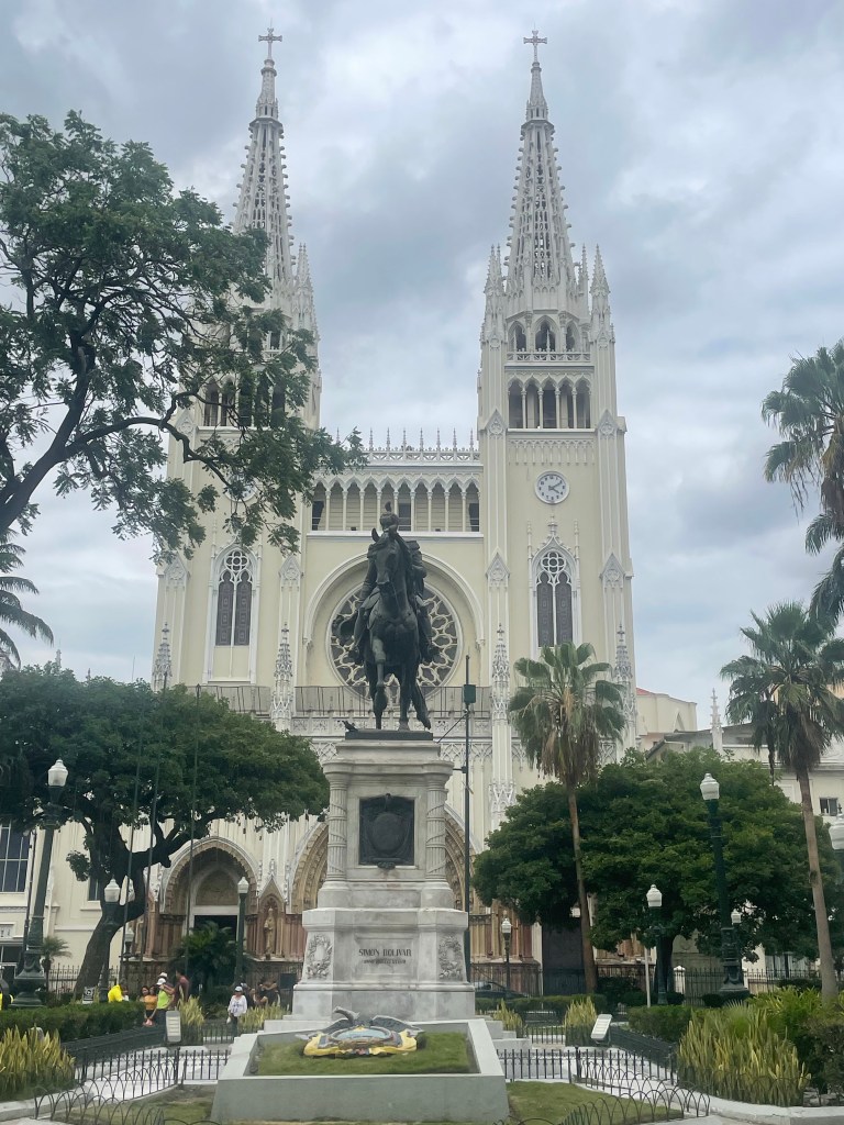
Guayaquil was founded in 1538 and became the chief Spanish shipyard in the pacific. In 1820 the city’s population overwhelmed the Spanish authorities and declared independence. Two years later it was the site of a meeting between Simon Bolivar and Jose de San Martin to plan how to complete the independence of Peru and the rest of South America.
The city which has a large area of deprivation suffered very badly from the pandemic; over 6,000 people died with bodies being left in the streets for collection.
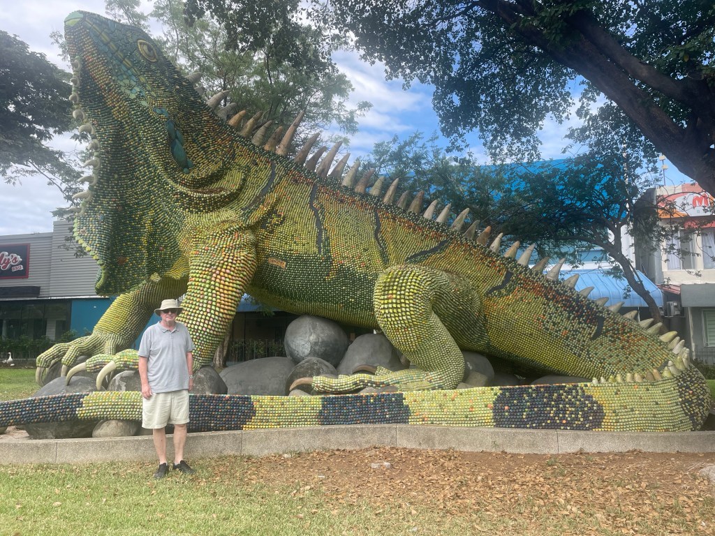
Courtyard of our hotel Guayaquil Metropolitan Cathedral (dedicated to Saint Peter) completed in 1937The city has a vibrant art scene – this iguana is made from small ceramic tilesSimon Bolivar and Jose de San Martin, with flags of all the South American countries Stadium of Barcelona football club, founded by a fan of the Spanish team, with a capacity of 60,000
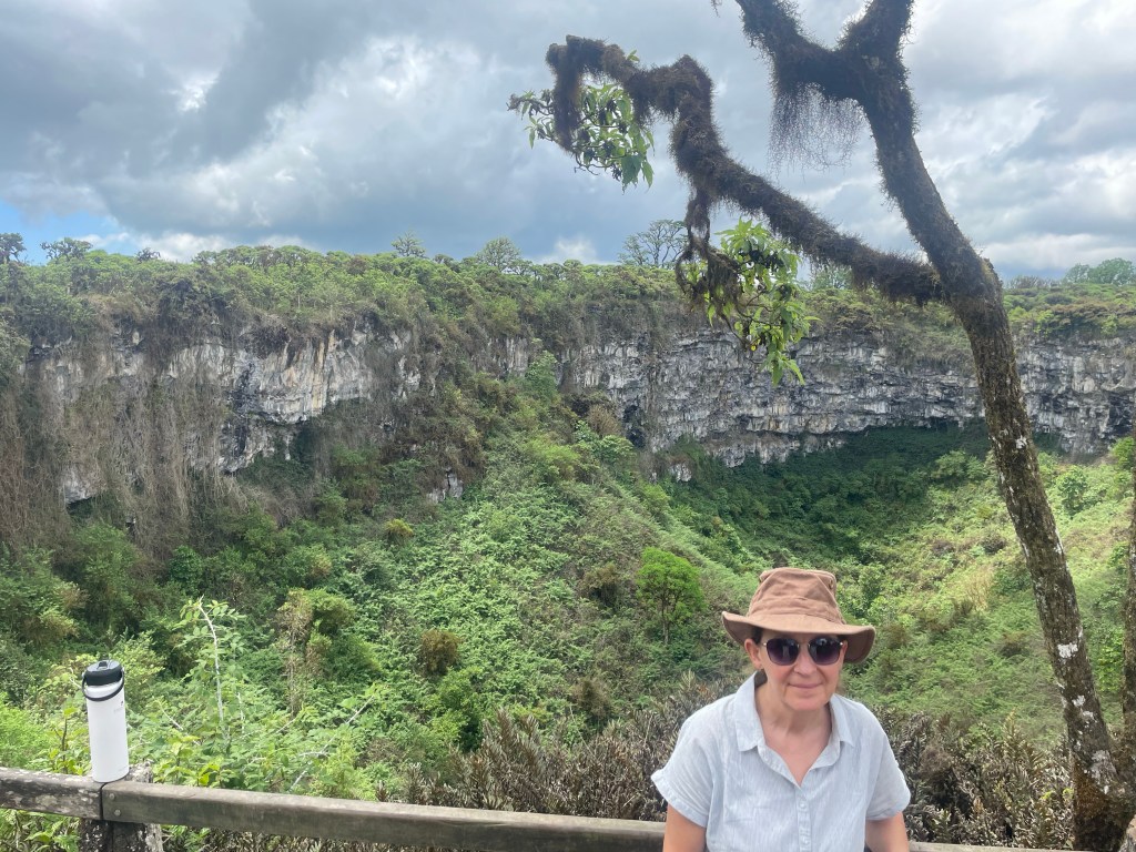
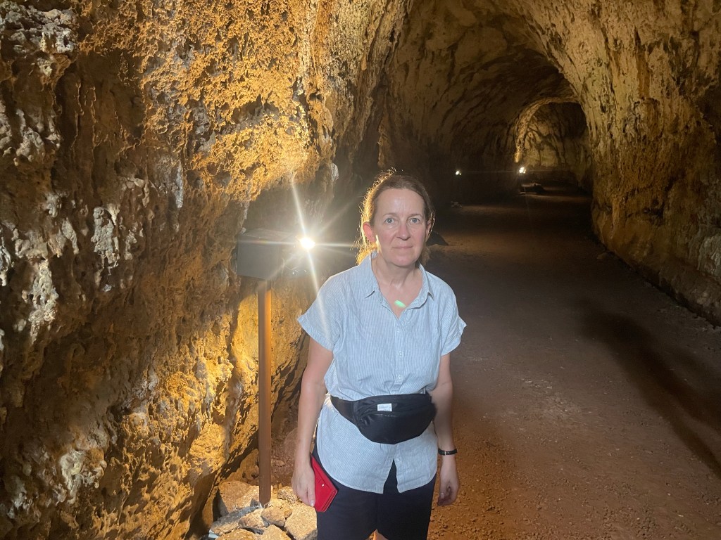
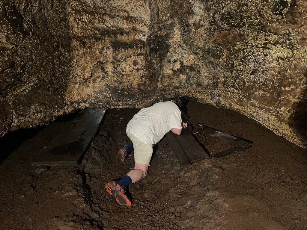
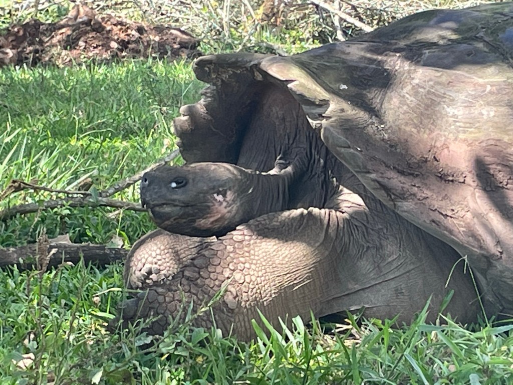
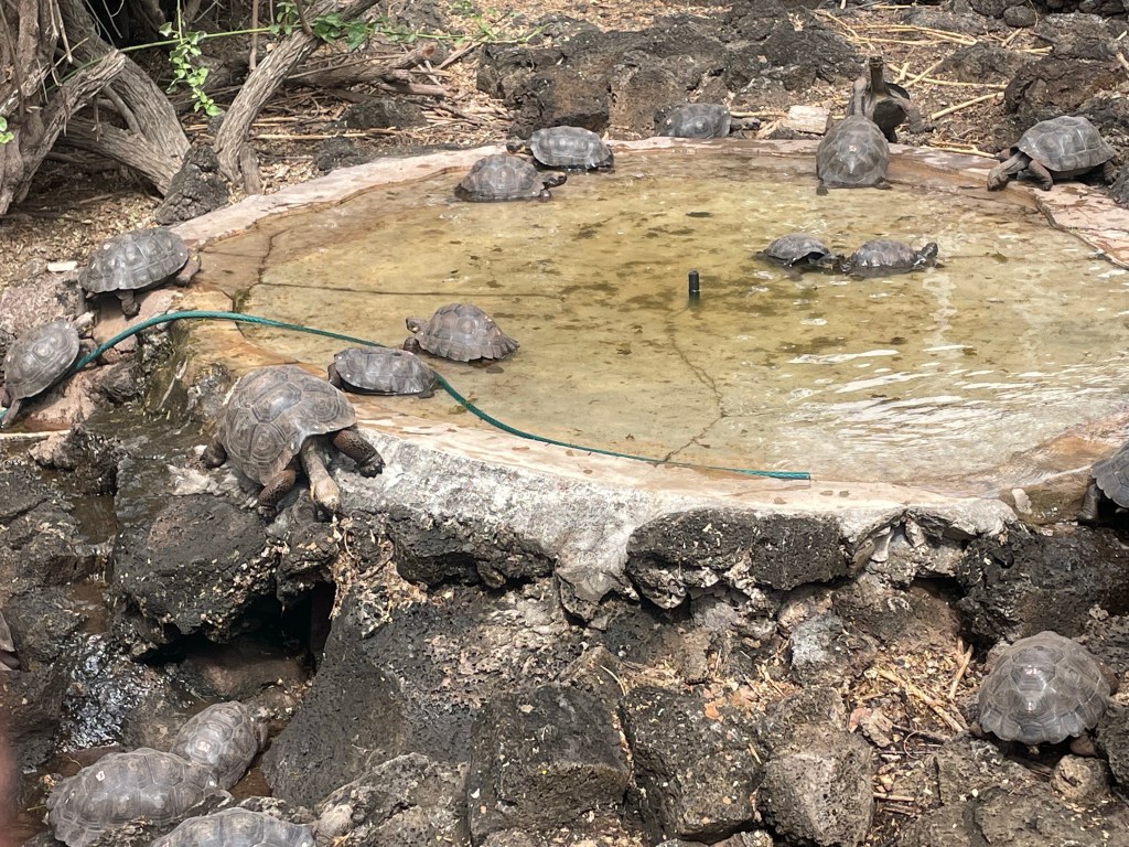
On Santa Cruz Island we visited the naturally formed sinkholes known as Los Gemelos (the twins) and a large lava tunnel. This can be walked through, but includes a narrow section to scramble through. We also visited giant tortoises at a private estate where they roam freely, including across roads and the 7km journey to nesting sites in the lowlands.
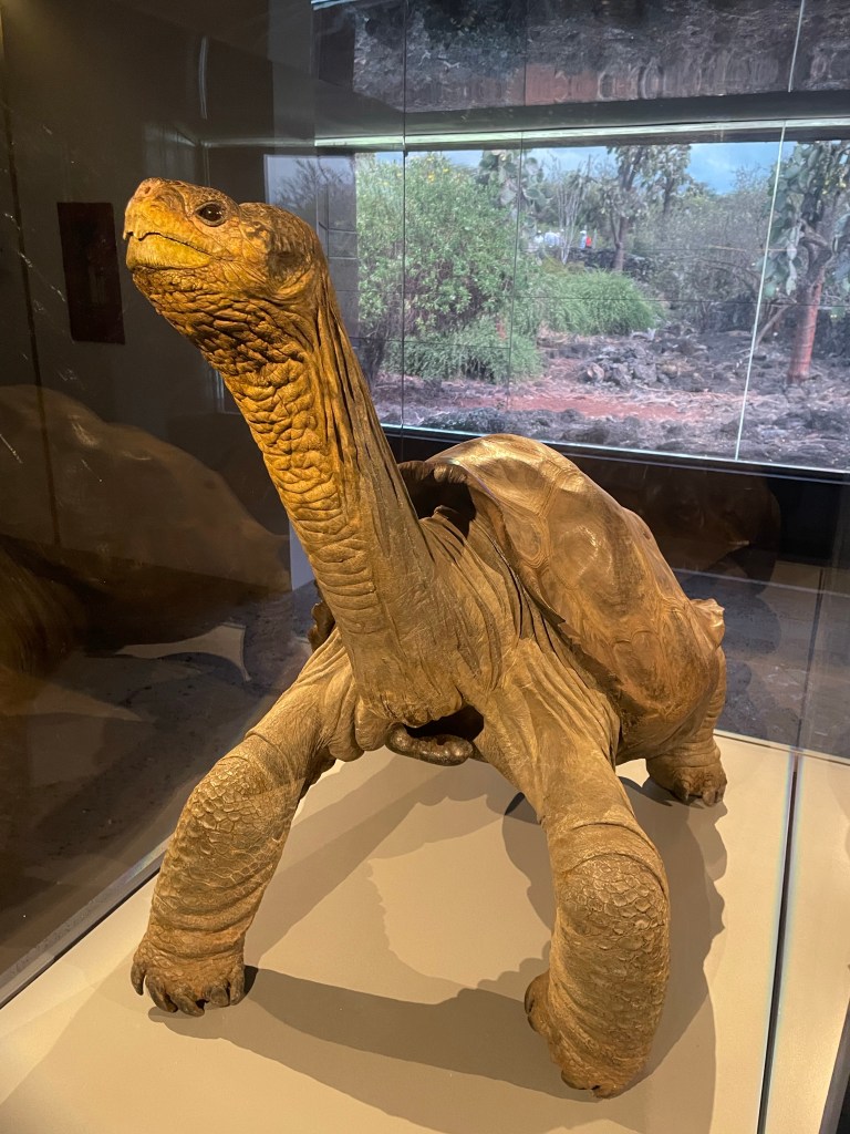
At the Charles Darwin Scientific Research Centre giant tortoises are hatched to help maintain the specific populations for each island. Older tortoises, which have been rescued worldwide from zoos and private homes, are also housed at the centre. In 1974 a giant tortoise from a species previously thought to be extinct was discovered on Pinta Island and moved to the centre. The last of his kind, he was known as Lonesome George. In 2012 he died (aged around 100) and his species was (again) declared extinct. His body has been preserved for posterity.
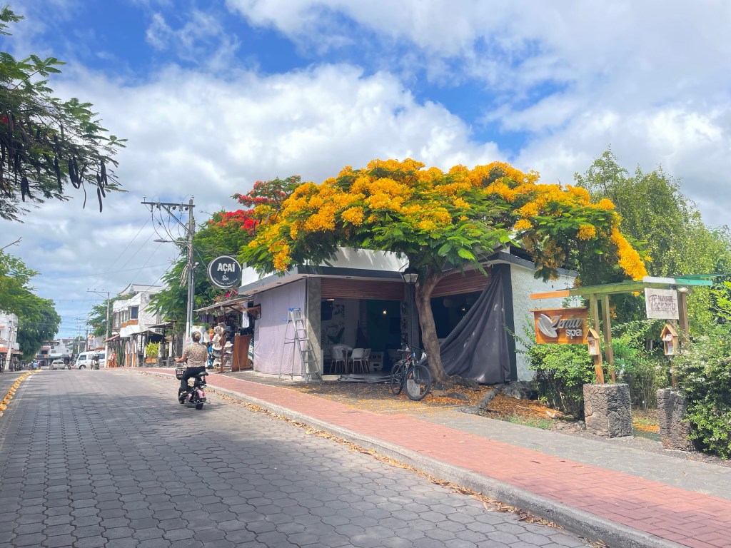
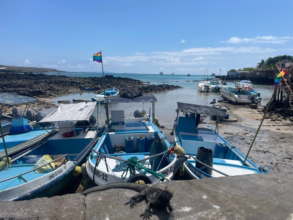
In Puerto Ayora, we visited the local shops, fish market and relaxed over a coffee with our guide, who was thankfully on hand to show us the quirks of the Galapagos ATM machine including the card being inserted sideways. Ecuador is the only South American country to use the US dollar as its currency, although with locally designed notes and coins.
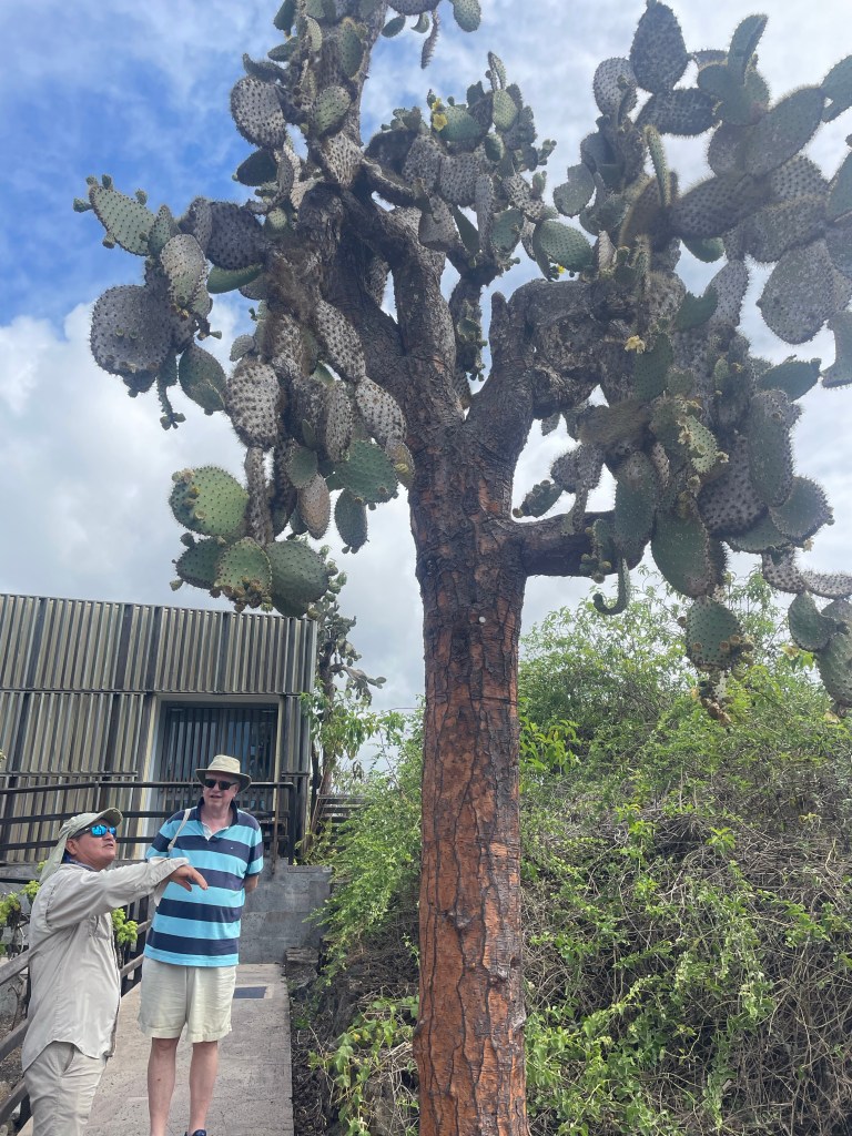
The Galapagos prickly pear – the height has evolved as the tortoises themselves evolved to become ‘saddlebacks’ to improve their reachLonesome GeorgeMain Street of Puerto Ayora
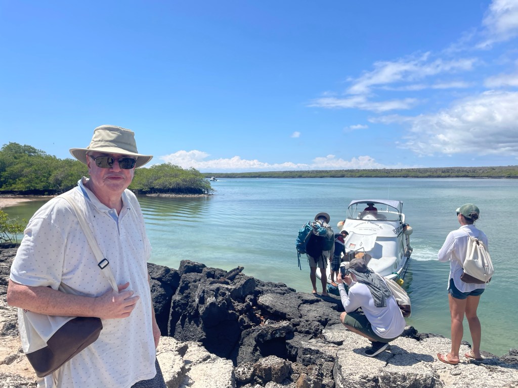
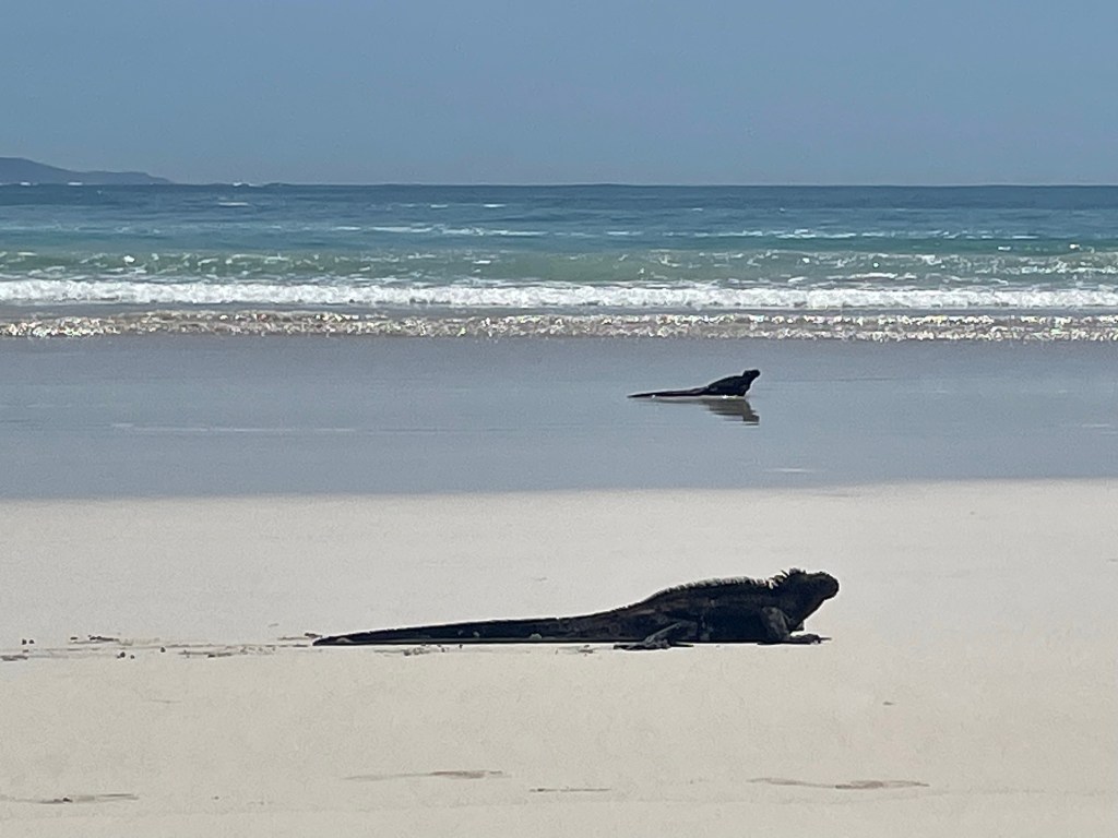
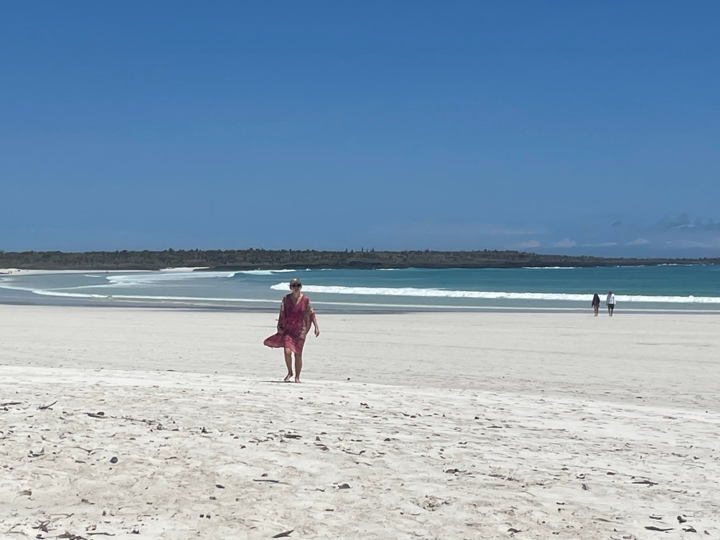
This bay is a 20 minute speed boat from the main town of Santa Cruz, Puerto Ayora. On one side is a white sandy beach with surf where marine iguanas feed. The Galapagos marine iguanas evolved from land iguanas because of the plentiful seaweed to feed on. The islands can be dry and food limited for the vegetarian land iguanas.
On the other side is a lagoon on which kayaking is allowed but with a limit of 10 kayaks. The lagoon is home to large number of turtles, rays and marine iguanas. From the kayaks large numbers of resting sharks are seen and some not resting but swimming under and beside the kayaks ! It is breeding season in January and other underwater activities are visible.
Our guide, Mario, pointing out the sharks – Tim just out of shot in the kayak