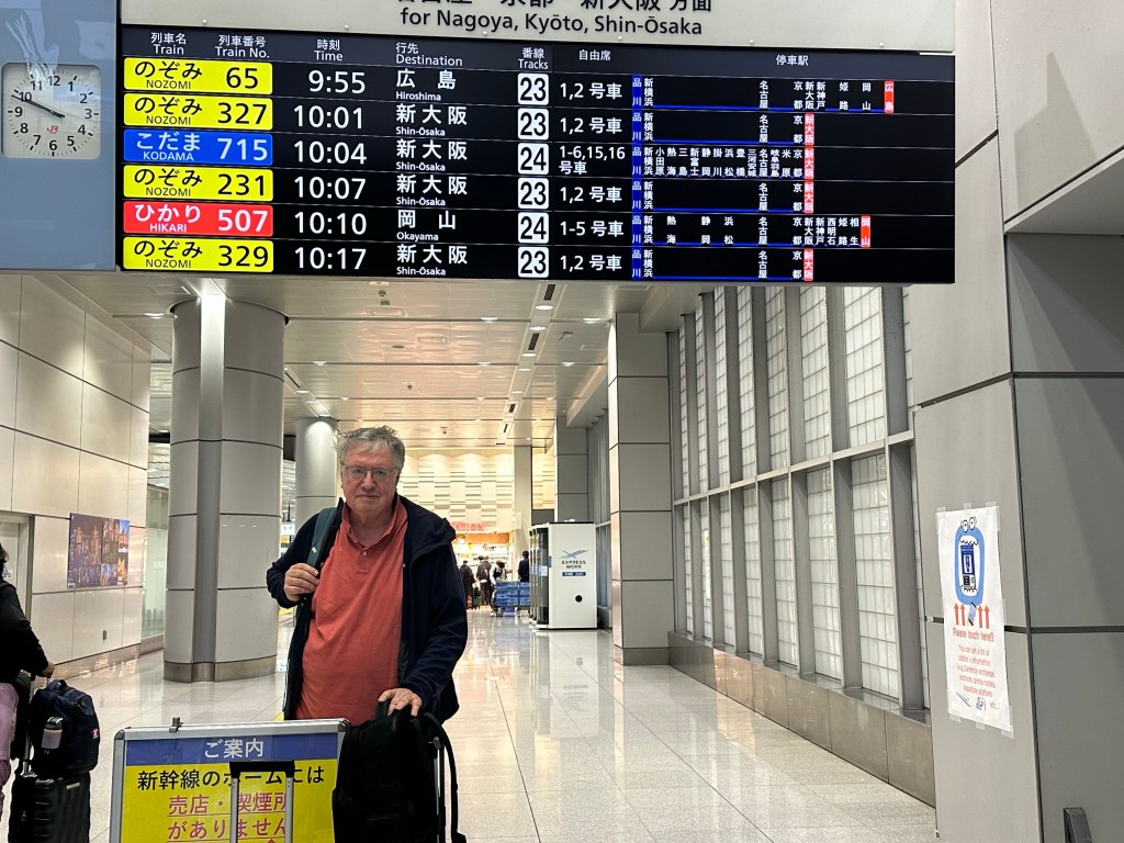
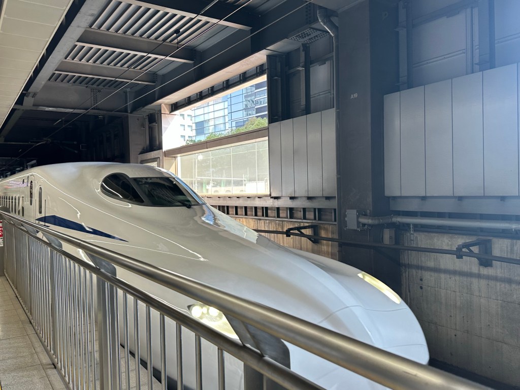
Gora is about 120 km south west of Tokyo and reached by three trains. The first is the famous bullet train (Shinkansen) which first came into service in 1964. It has a maximum speed of 320 km per hour, is the most punctual service in the world and has never had a fatality.
The train is in each station for only a couple of minutes with the passengers already in orderly queues in designated parts of the platform depending on your carriage. Getting on and off the train is helped considerably by the absence of steps or gaps – platform and trains are at the same level with only a few cm between the two.
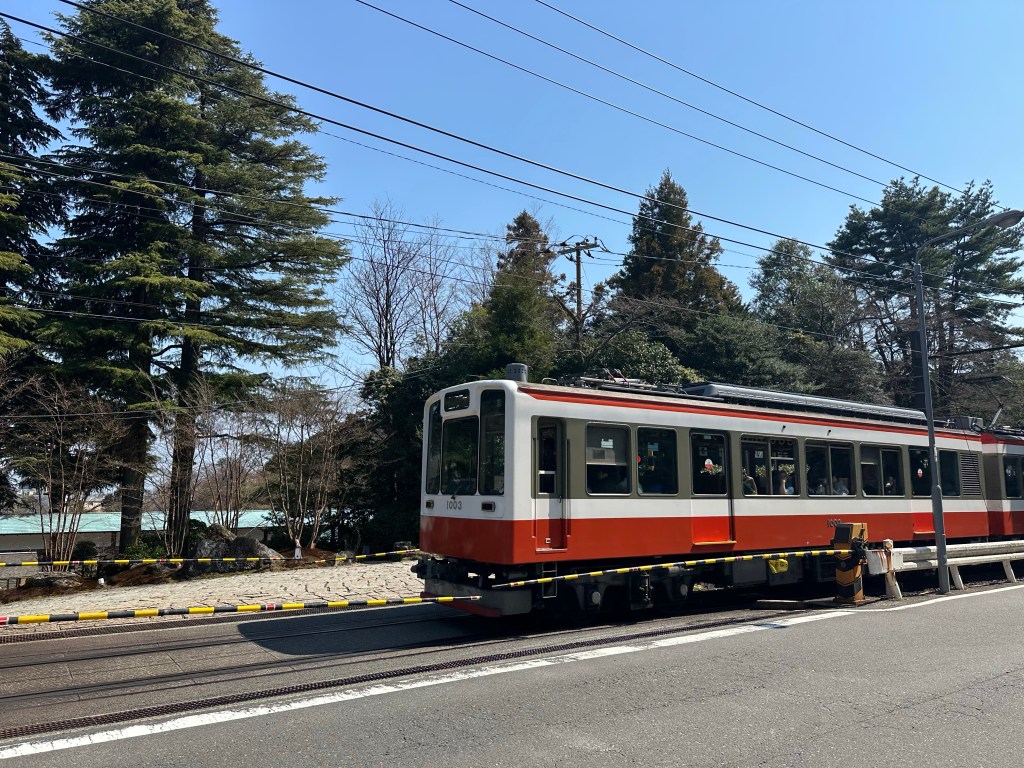
The next two trains run on the Hakone Tozan Line, with the section from Hakone to Gora being a spectacular mountain railway including three switchbacks.