Osaka is the third largest city in Japan, is a port city and for many years has been a commercial hub for the country. The city’s population is around 2.7 million, with a metropolitan population of around 19 million.
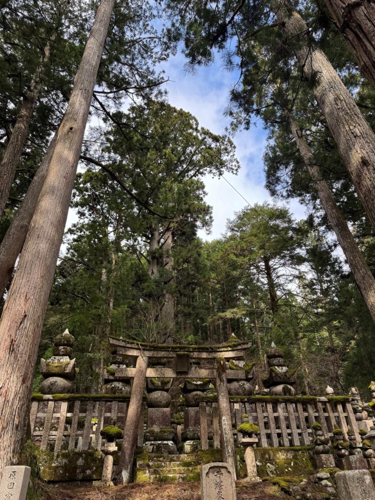
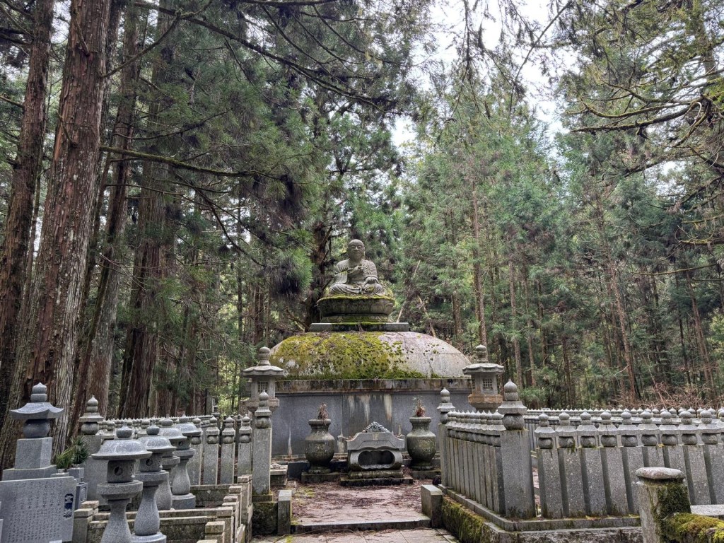
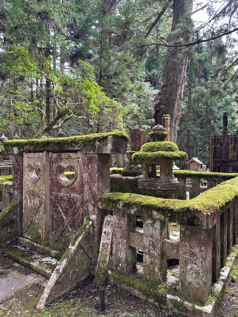
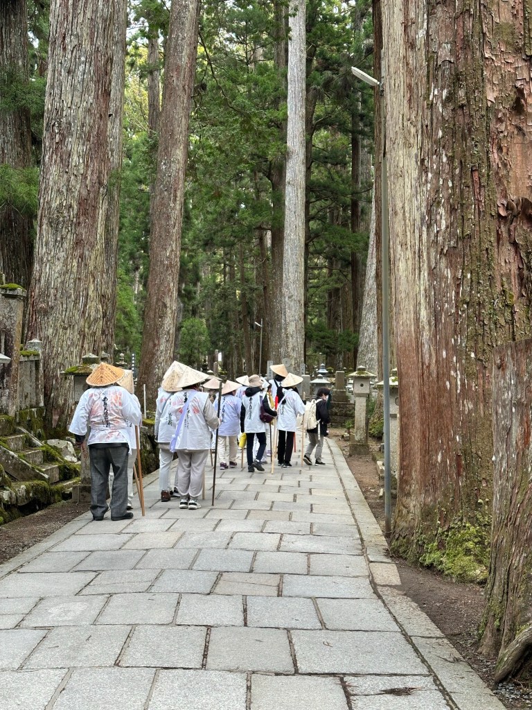
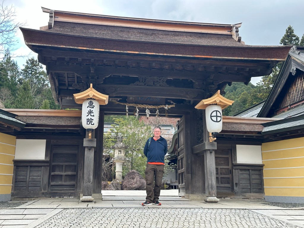
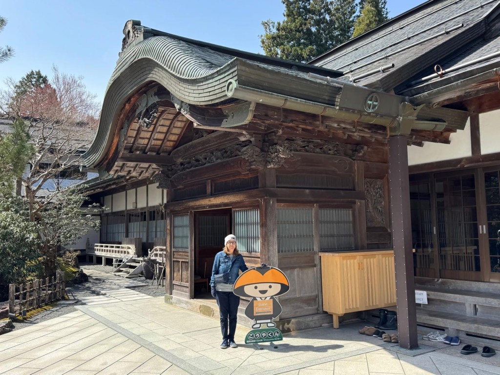
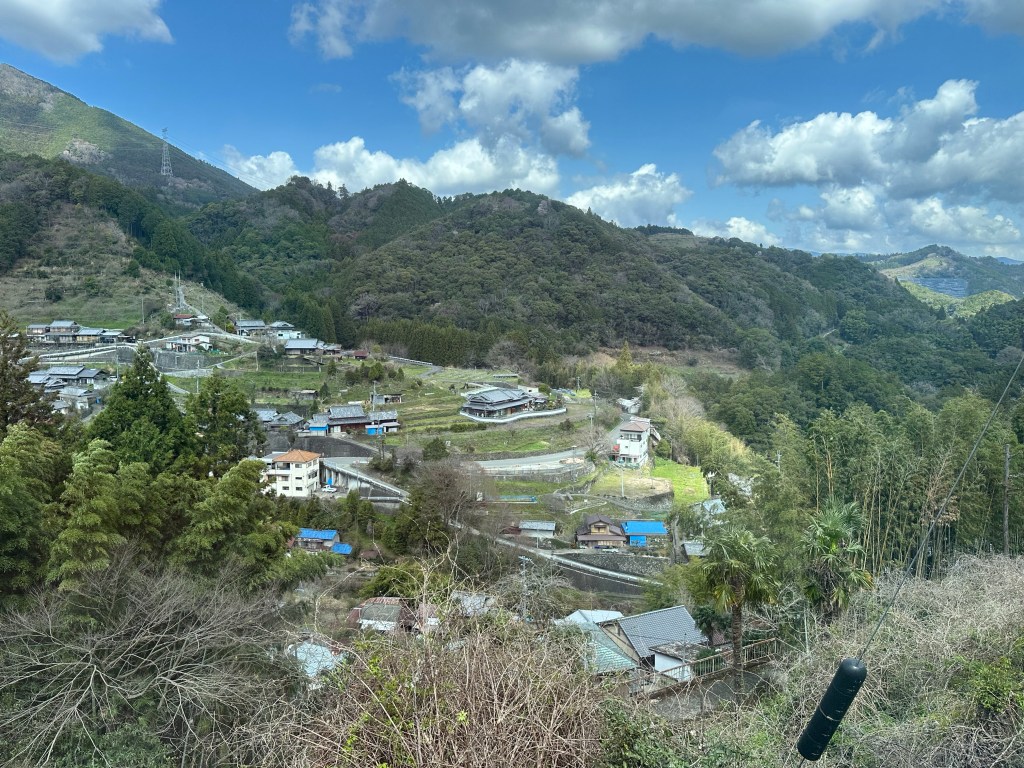
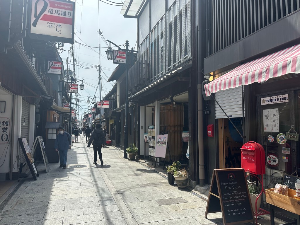
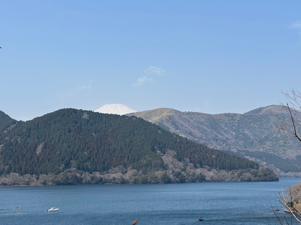
It is close to Kyoto, so much so that on the train between them it was hard to tell where each city started/finished. Osaka was our last stop and a big contrast to the previous one in Koyasan.
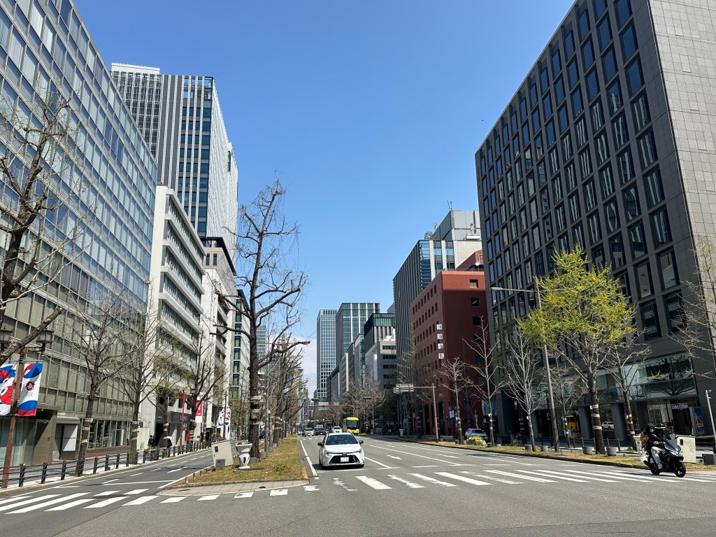
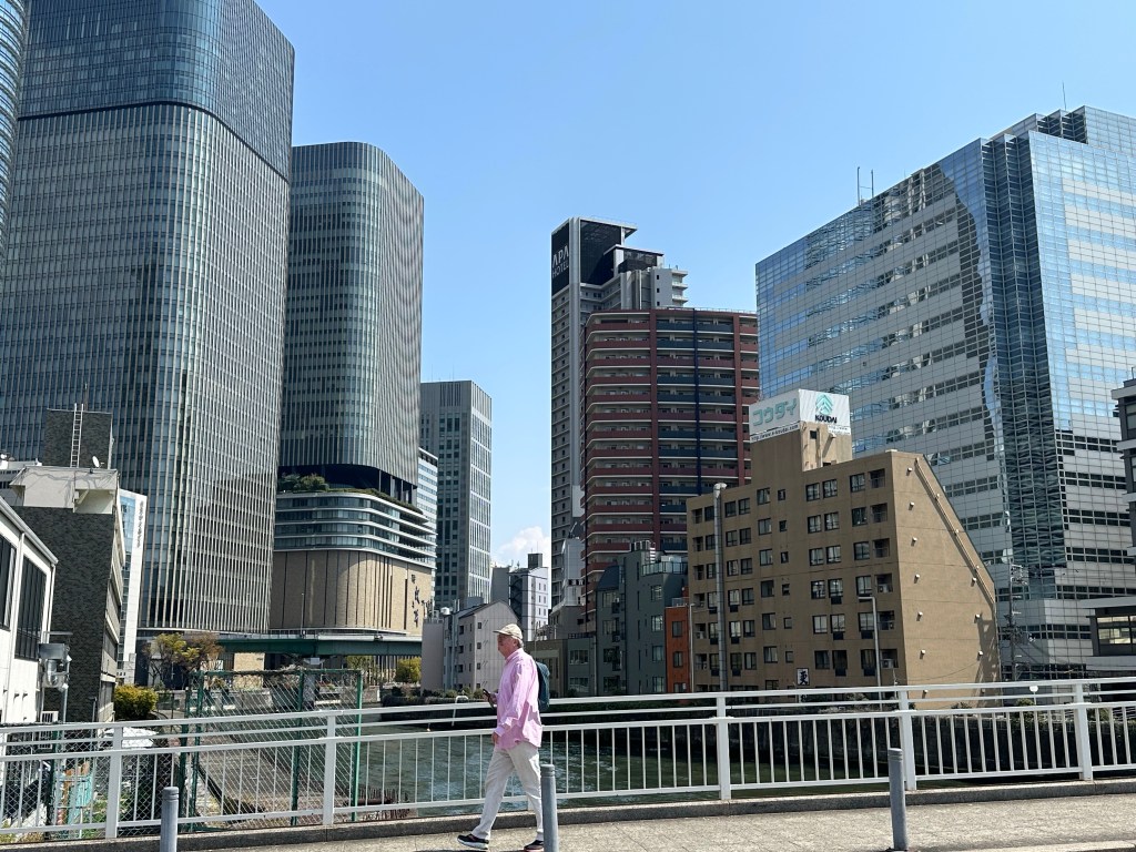
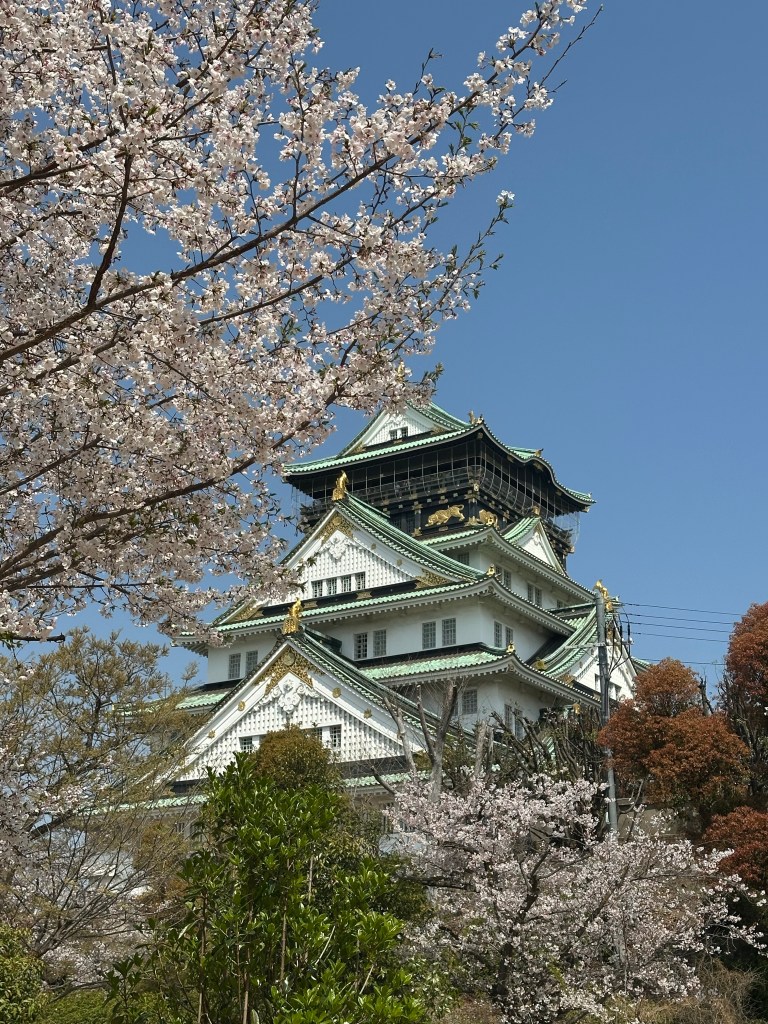
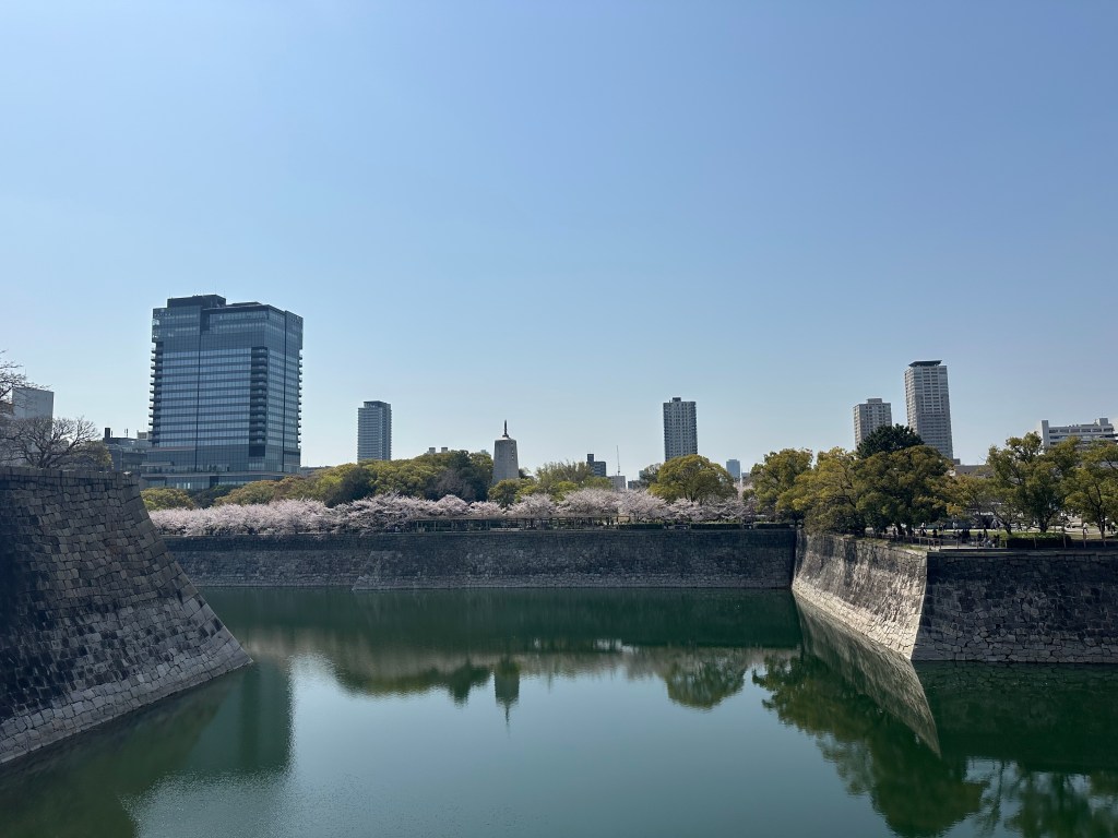
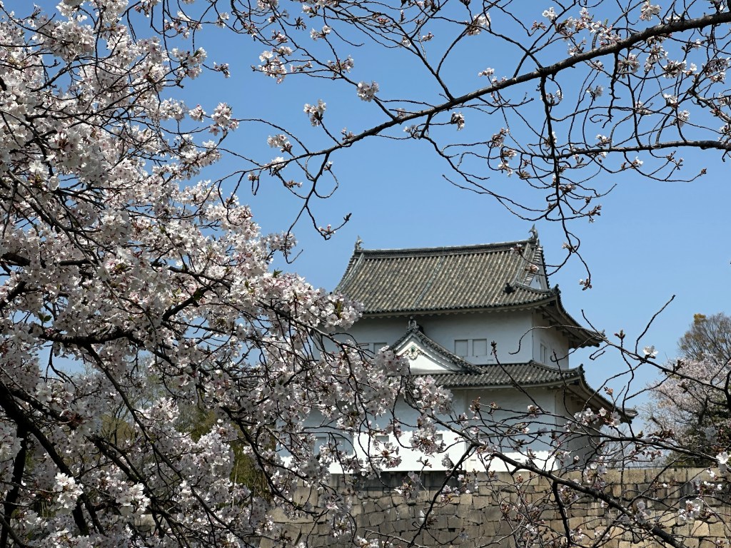
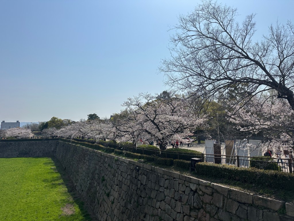
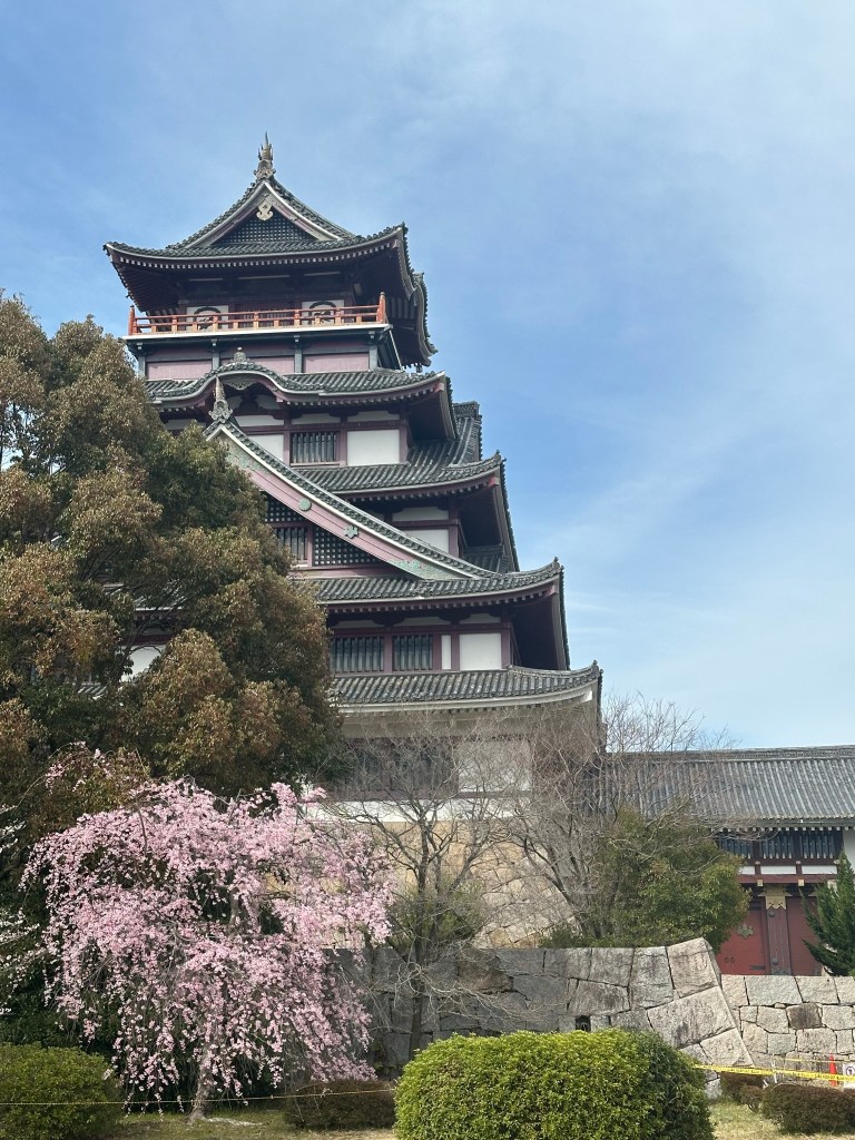
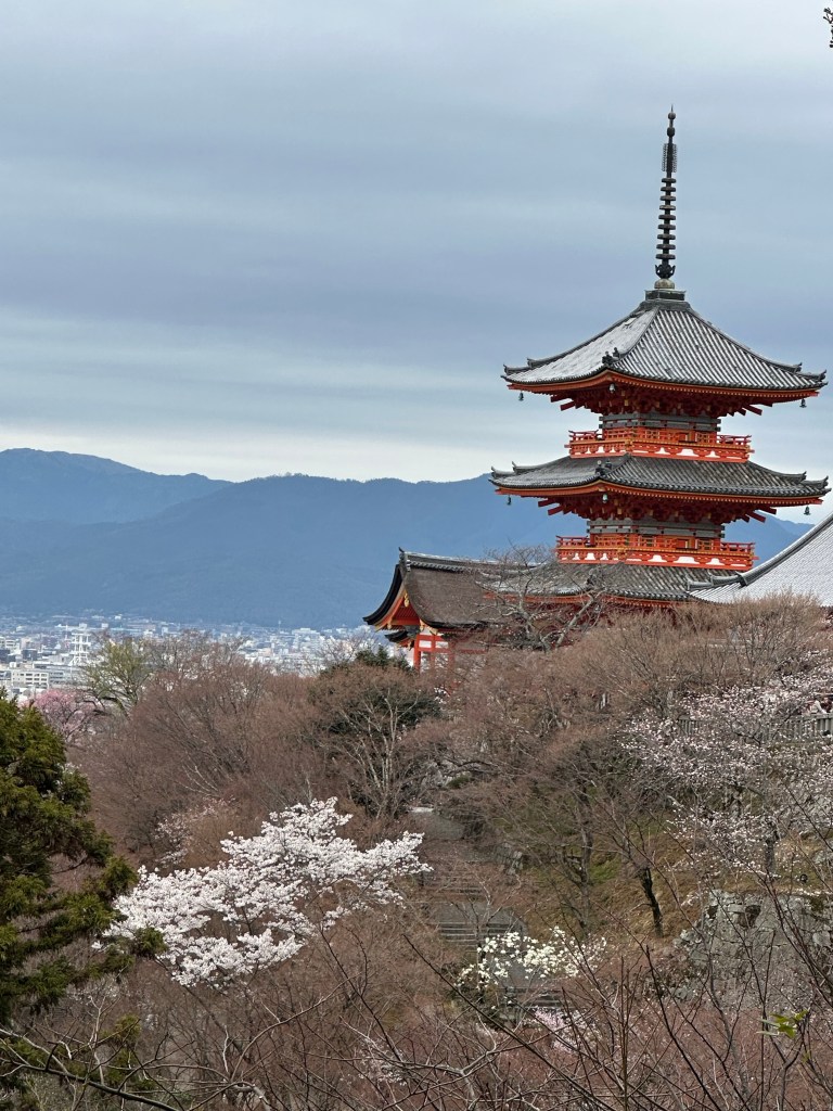
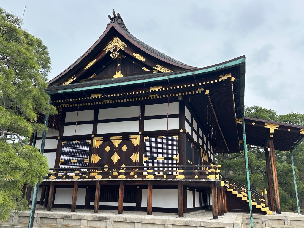
The focal point is Osaka Castle, originally built in the 16th Century and rebuilt after being destroyed in WW II. Most of the city dates from post WW II, with many buildings dating from the economic boom of the 1980s.
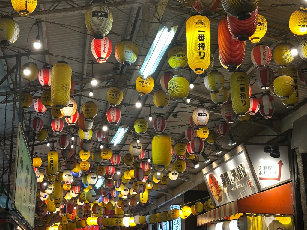
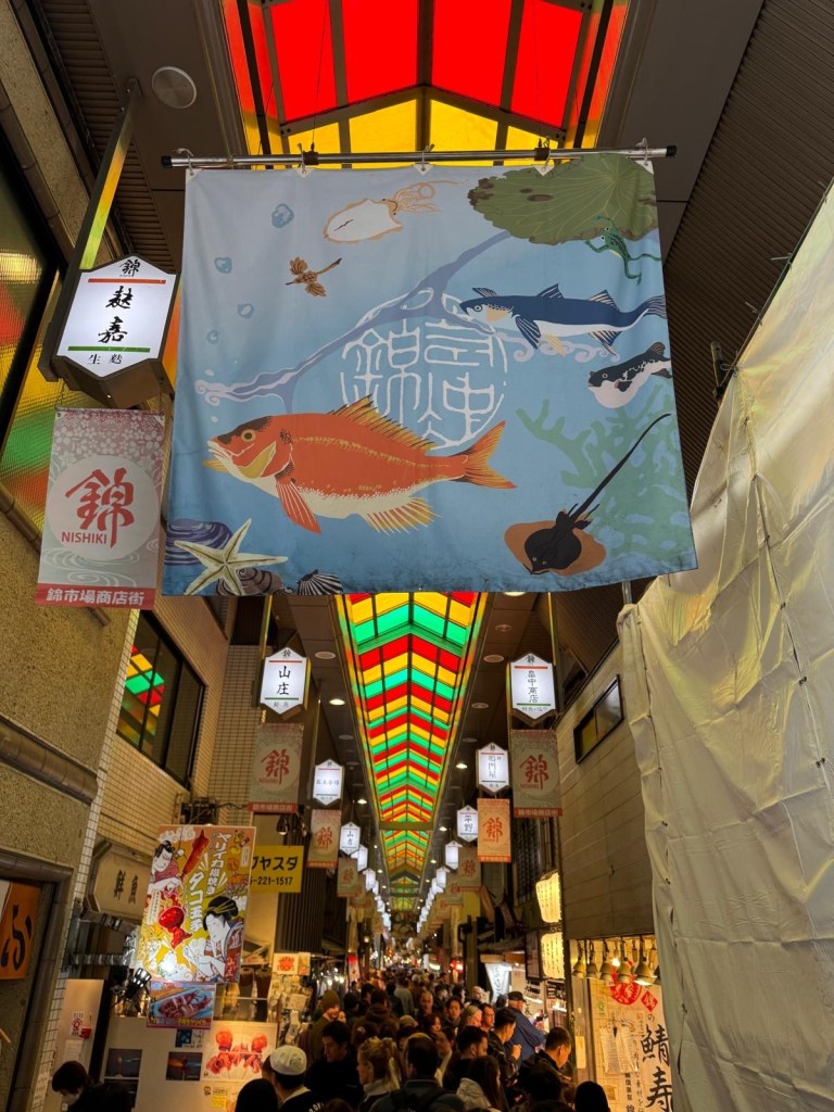
We went on a guided food tour and were surprised to see local drunken behaviour in the early evening. Our guide informed us that Osaka is not like the rest of Japan and in her words “Japan’s Liverpool”! That said, our other Osaka interactions were far more respectful including a man who went out of his way to help us find a sushi restaurant- he didn’t just point us in the right direction, he escorted us there.
Osaka’s citizens are said to be “contrary” and many of the country’s comedians are from the city. We also noticed that people walk on the right, whereas in the rest of Japan they walk on the left. This is said to be because Osaka’s merchants kept their money on the right, whilst Samurai in the other cities wore their swords on the left.
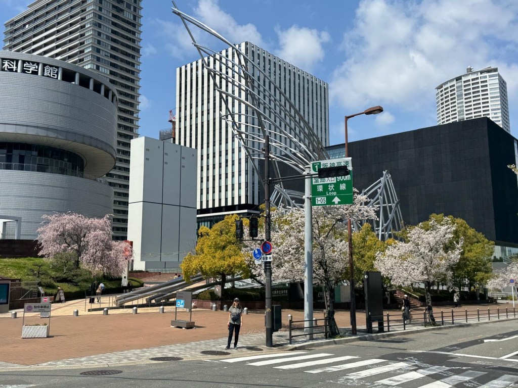
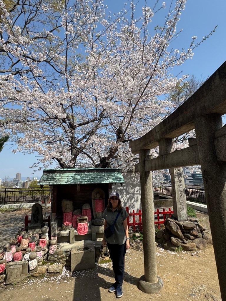
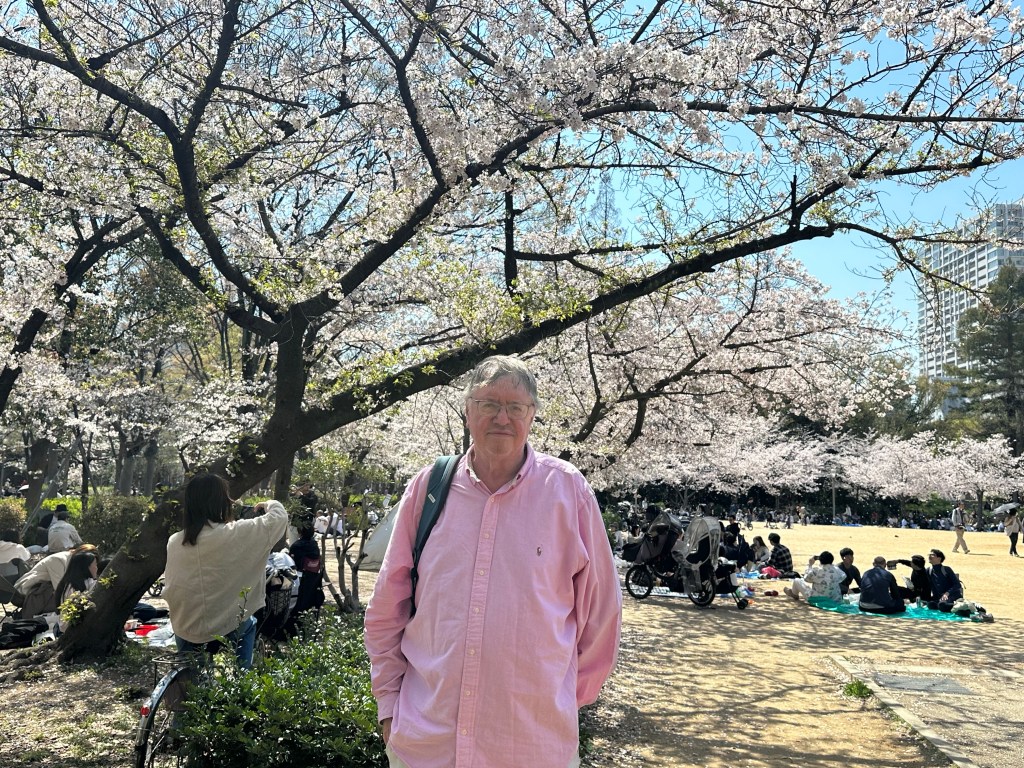
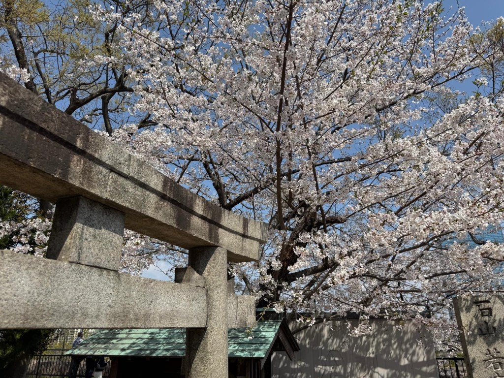
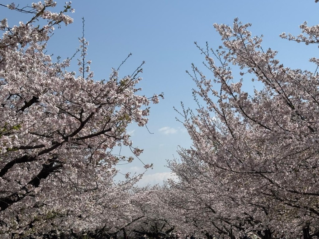
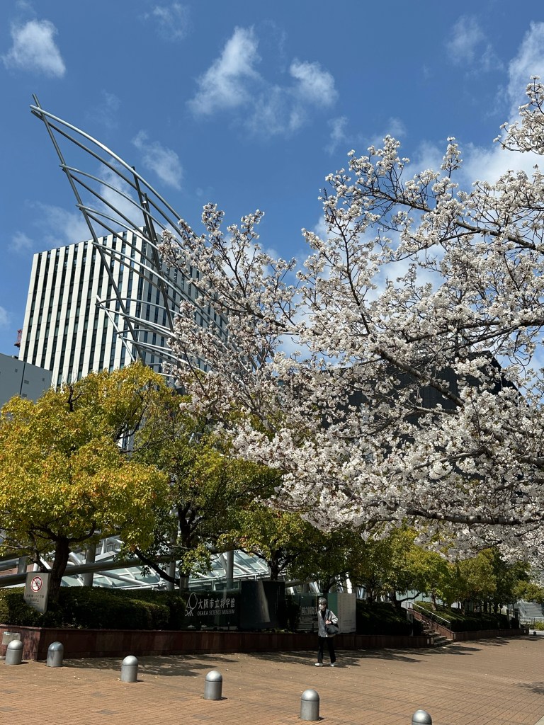
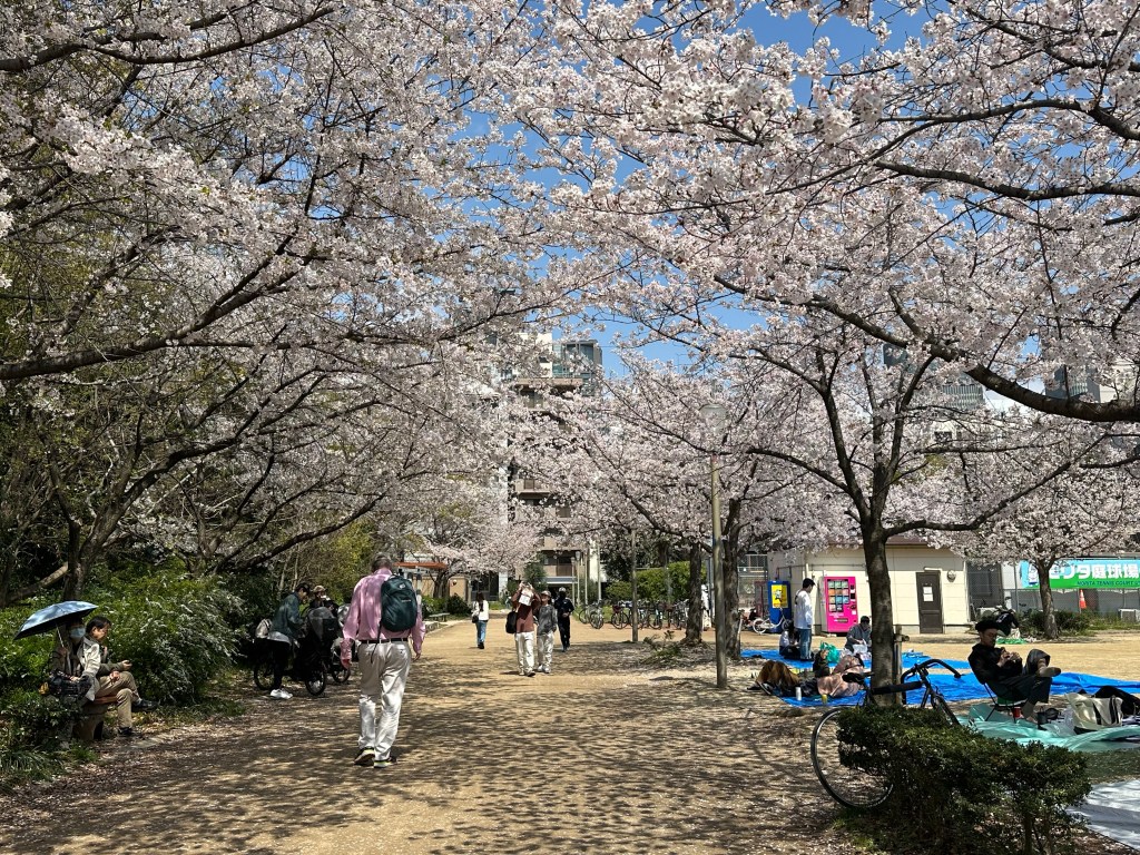
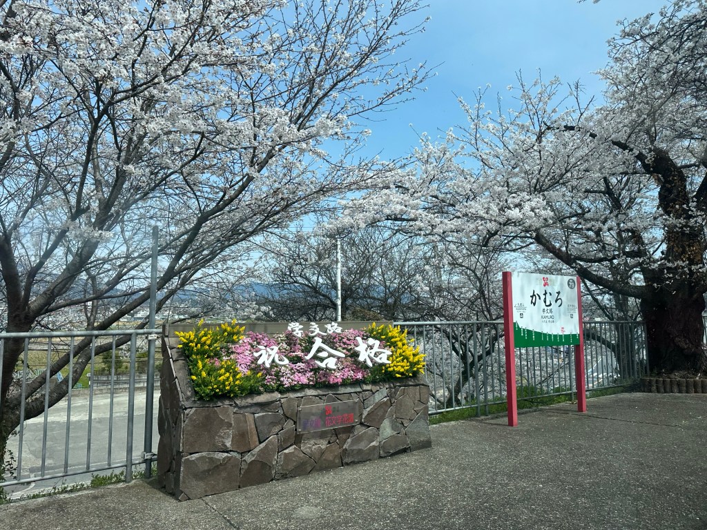
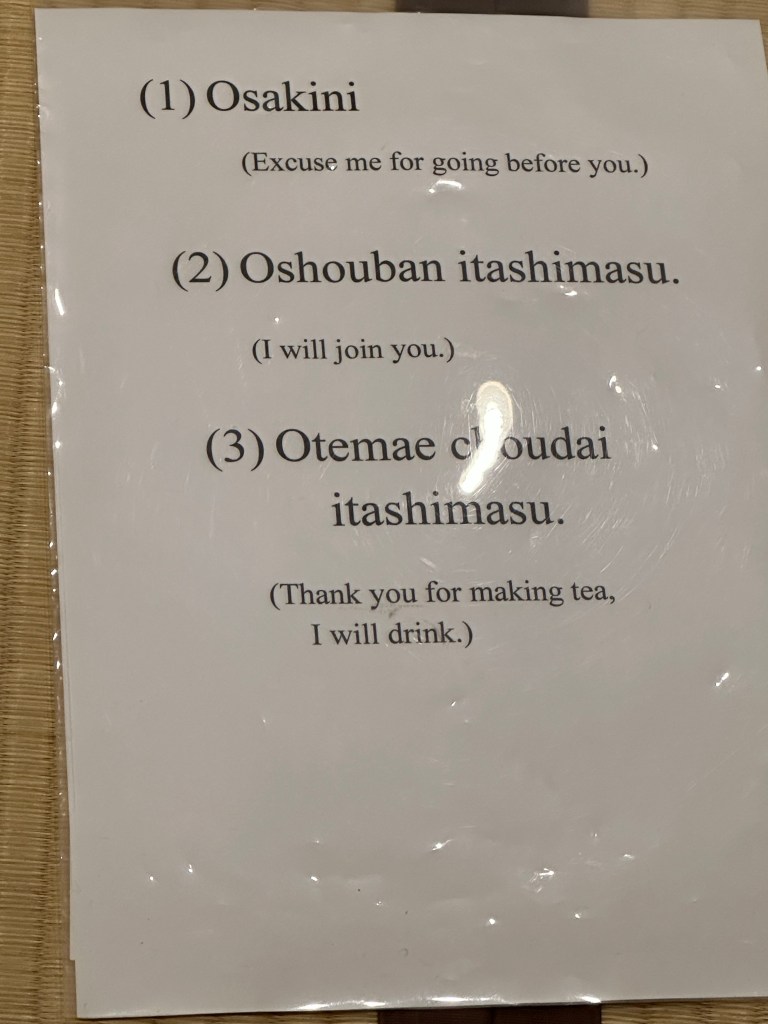
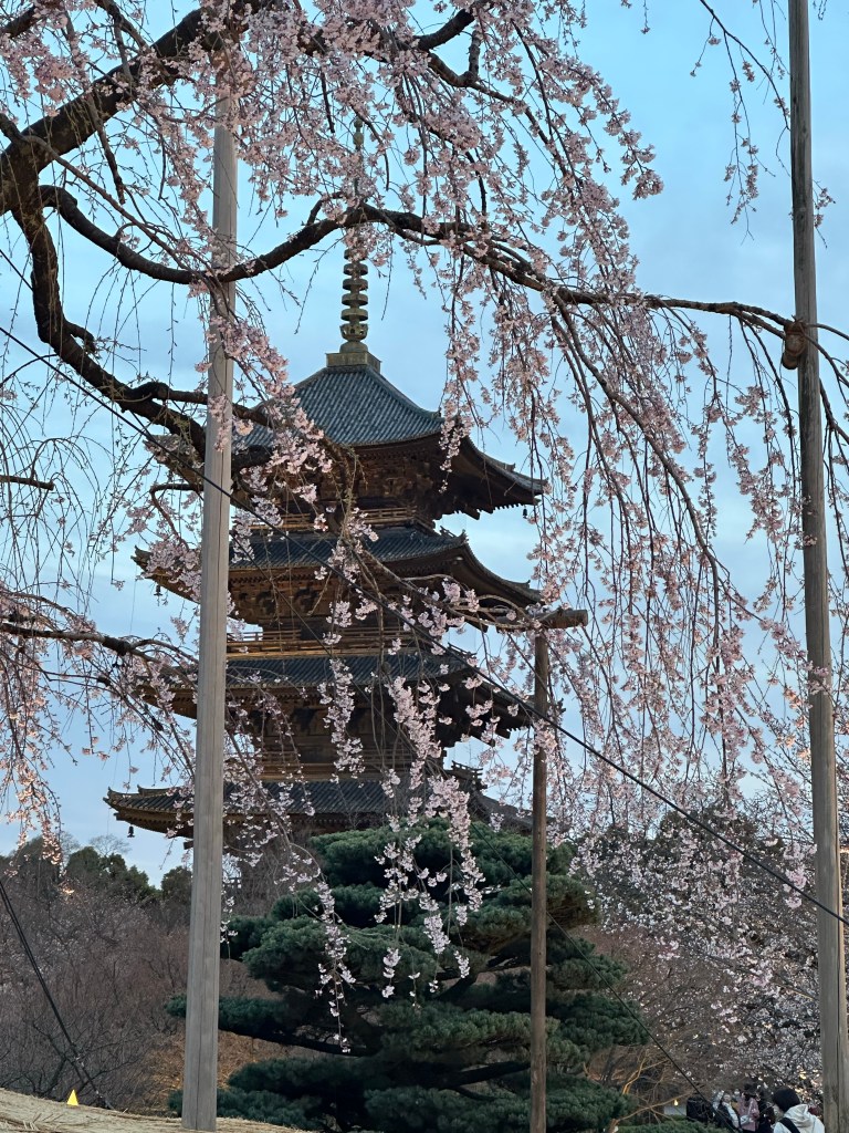
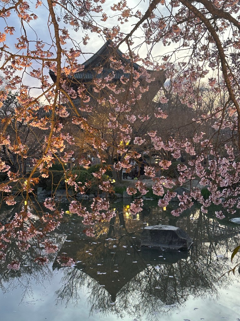
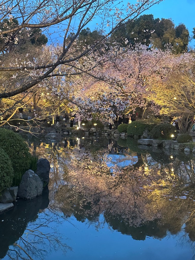
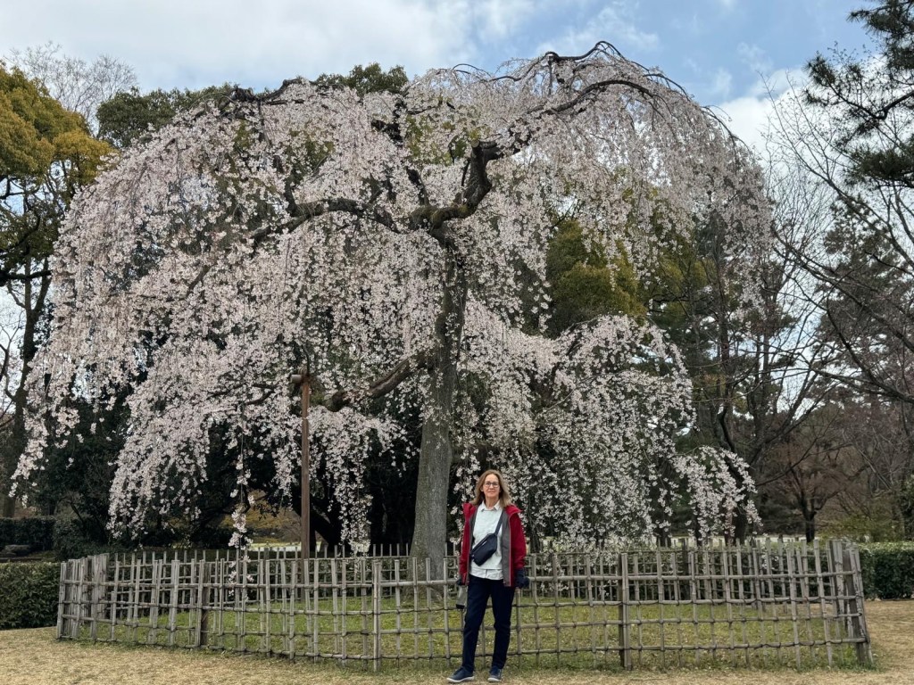
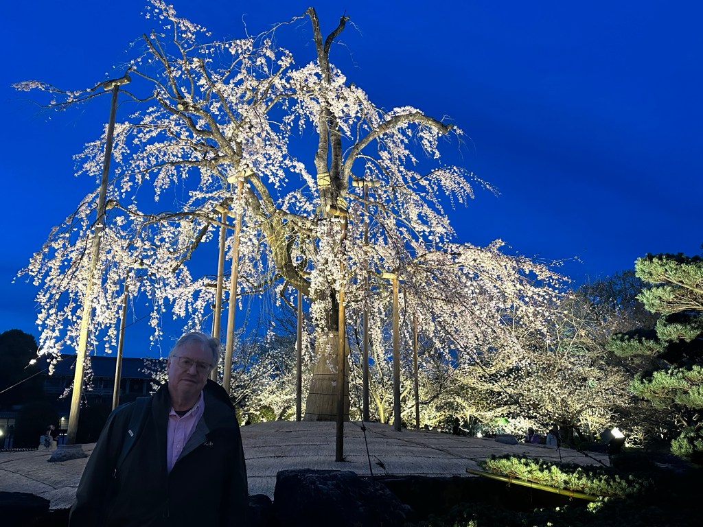
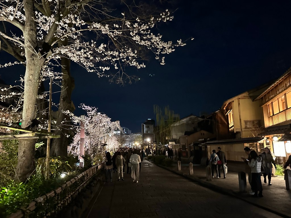
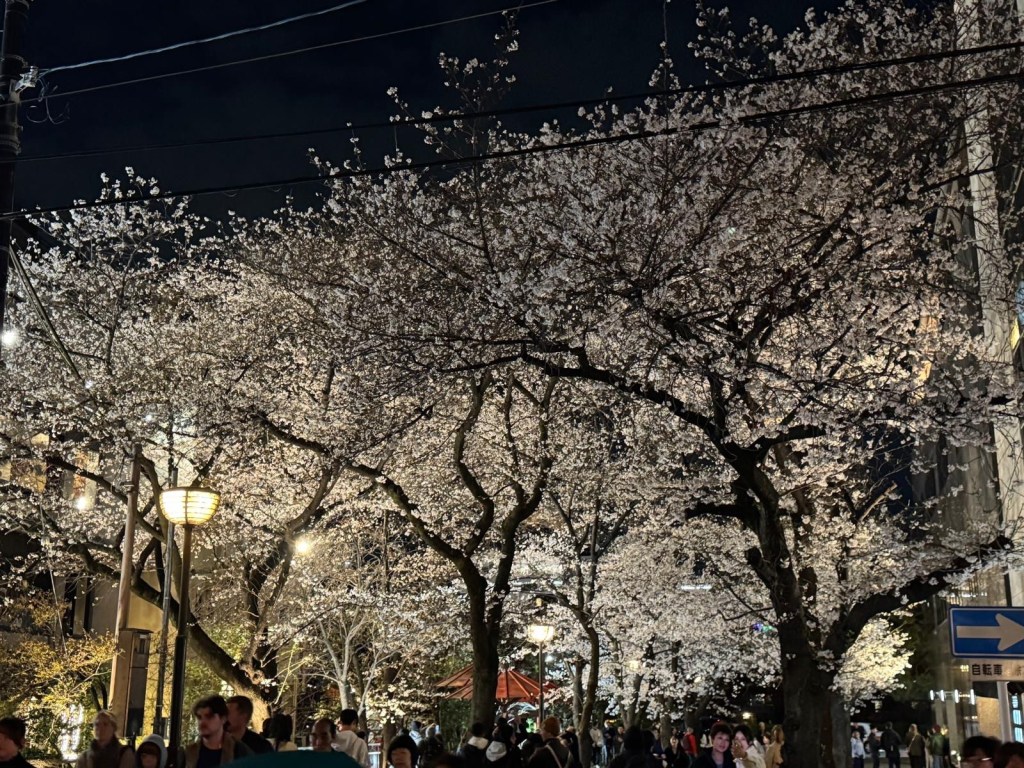
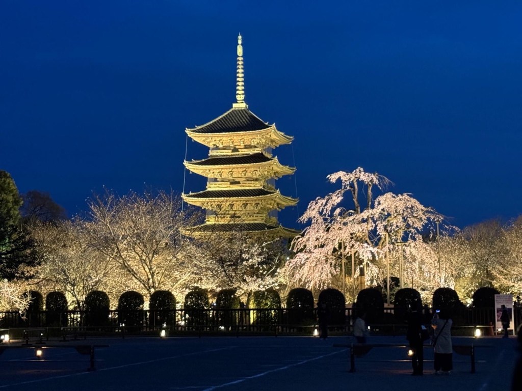
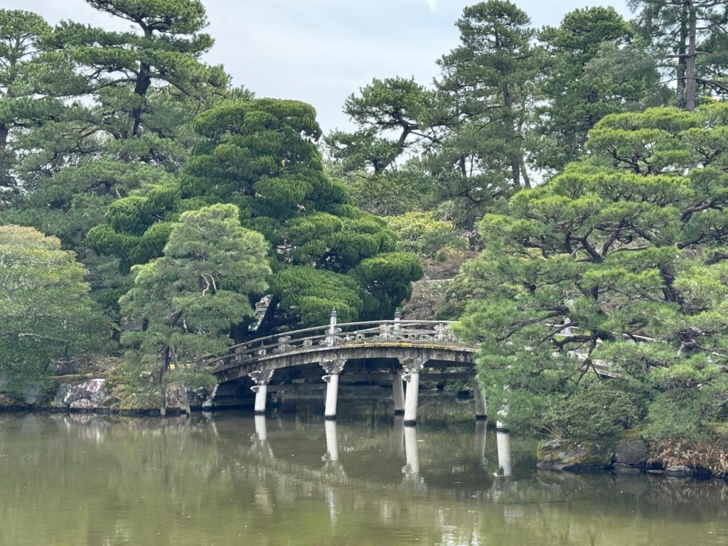
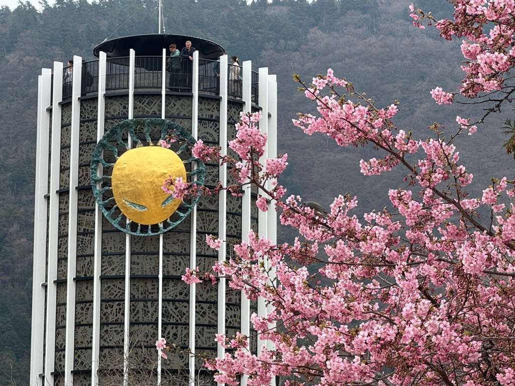
While we were in Osaka, cherry blossom was designated as being in full bloom. Our visit was over a weekend, so we saw groups of families and friends having picnics under the trees, a “Sakura” pastime that has been popular for generations.